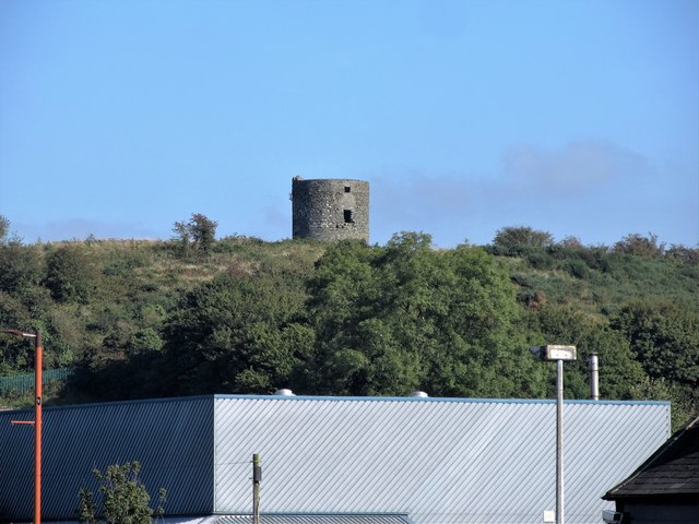
What is recorded here
WINDMILL STUMP in County Down, Ireland, is a nineteenth-century Scheduled monument where a vanished mill once twisted water or wind into flour. The stump remains a blunt wooden witness, stripped of sails and rooms but still carrying the muscle of repeated human hunger. It stands because someone built it, used it, abandoned it, and forgot to erase it.
The official Northern Ireland record identifies this as WINDMILL STUMP - IHR 03039. Recorded period: C19TH. Recorded protection: Scheduled. The official map point was placed at the centre of the recorded archaeological site from the source map reference.
The monument record does not grant public access. Check the route and ask the landowner before entering private land.
- What survives
- Recorded monument
Places near here
 Windmill HillMountain / peak · 1 yd
 Windmill Hill WoodWood · 185 yd
 First Presbyterian ChurchChurch · 382 yd
 Windmill Street Car ParkVisitor information · 429 yd
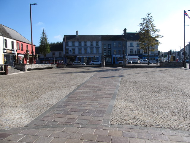 Market DayVisitor information · 577 yd
 Corn MillMill · 897 yd
 Battle of Ballynahinchbattle · 1137 yd
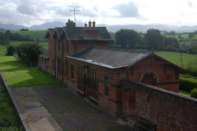 ENCLOSURE in Ballylone LittleENCLOSURE · 1573 yd
 ENCLOSURE in Ballylone BigENCLOSURE · 1.3 mi
 FORTIFICATION: McCARTAN'S CASTLE (unlocated) in MagheratimpanyFORTIFICATION: McCARTAN'S CASTLE (unlocated) · 2.8 mi
 Glen LoaninWalking route · 3.9 mi
 Dunmore MountainMountain / peak · 4.1 mi
Other information
Photo: Eric Jones · CC BY-SA 2.0