What is recorded here
Graffy Fort stands in County Fermanagh as a rath, marking the early Christian period with earthworks that still shape the land. It is no longer a living stronghold, but the name preserves the fort function and local identity. The site may have served as a refuge, a boundary marker or a seasonal gathering place, though no surviving account confirms which. What remains is a named anchor in the landscape, waiting for memory or investigation to complete its story.
The official Northern Ireland record identifies this as RATH: GRAFFY FORT. Recorded period: E.CHRIST.. The official map point was placed at the centre of the recorded archaeological site from the source map reference.
The monument record does not grant public access. Check the route and ask the landowner before entering private land.
- What survives
- Recorded monument
Places near here
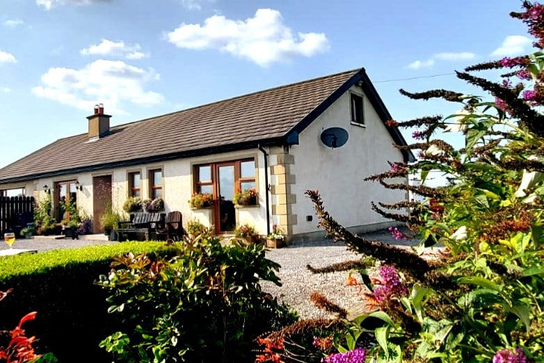 A.P. SITEA.P. SITE, enclosure? · 794 yd
 Belleek PotteryHeritage attraction · 1595 yd
 Belleek Pottery MuseumMuseum · 1663 yd
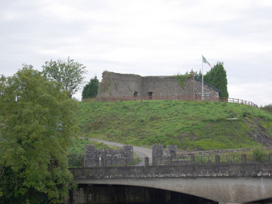 Belleek Battery / FortBattery and garrison fort · 1.0 mi
 bridgebridge · 1.3 mi
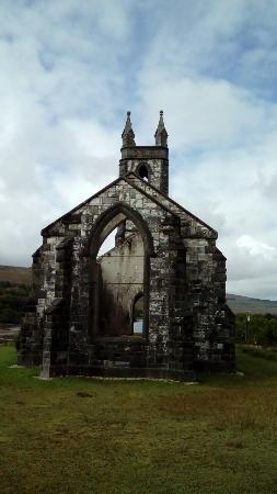 Old ChurchRuins · 1.4 mi
 PLANTATION CASTLE: MAGHERAMEENAGH CASTLE in MagherameenaghPLANTATION CASTLE: MAGHERAMEENAGH CASTLE · 1.4 mi
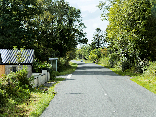 Rosscor IslandIsland · 2.7 mi
 MuckinishIsland · 3.0 mi
 Castle in ruinsCastle, unclassified · 3.5 mi
 RSPB Lower Lough Erne IslandsNature reserve · 3.6 mi
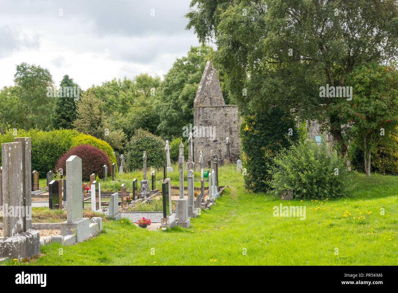 GraveyardRuins · 3.7 mi