What is recorded here
On the E bank of the S-flowing River Barrow. Named 'Rath' and shown on the 1st ed. (1839) of the OS 6-inch map as the N, E and S sides of a rectangular enclosure, with the river forming the W limits of the monument (or having submerged or washed the original W limits away). The OS 25-inch map shows a similar, though unnamed, enclosure (est. L c. 52m N-S; est. surviving Wth c. 46m E-W), but with the river flowing just inside the enclosing elements creating a roughly rectangular island in the interior (est. L c. 30m N-S; est. Wth c. 25m E-W). The river has since been dredged and straightened and a line of spoil is dumped along the E bank. No visible surface trace of the monument survives. Although named ‘Rath’ on the OS map, both the morphology of the monument depicted and its siting are not typical of raths. It may have been a moated site - perhaps adjoining a fording point utilising the adjacent Bishop’s Island?
Compiled by: Gearóid Conroy
Date of upload: 18 September 2013
The monument record does not grant public access. Check the route and ask the landowner before entering private land.
- What survives
- Recorded monument
Places near here
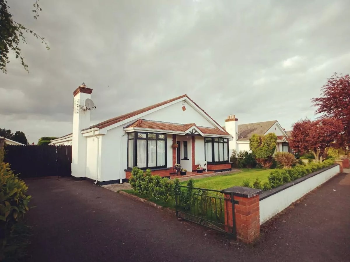 Enclosure in FisherstownEnclosure · 1514 yd
 DunrallyFairy fort / earthen ringfort · 1662 yd
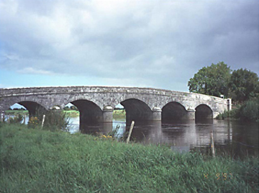 Dunrally Bridgebridge · 1.2 mi
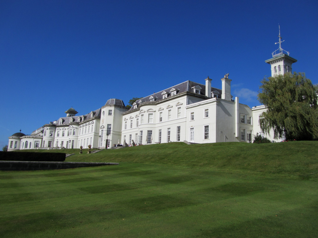 Cloney CastleCastle, unclassified · 1.3 mi
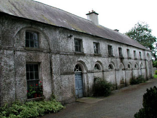 Riverstown Househouse · 1.4 mi
 Green's WoodForest · 2.2 mi
 Dangan's WoodWood · 2.5 mi
 OutlinedCastle, unclassified · 2.5 mi
 CEMETERYGraveyard · 6.1 mi
 Bog Lake WalkWalking route · 8.6 mi
 Bog Oak WalkWalking route · 8.9 mi
 Bithia Mary CrokerMemorial · 9.9 mi