What is recorded here
Rath appears repeatedly across County Armagh, from Ballenan to Carrickastickan, marking a landscape where defensive earthworks and hidden chambers still interrupt the green fields. These are not singular wonders but a regional habit of building, suggesting people everywhere sought enclosure, storage or ceremony in the same rough materials. The name itself has become a local grammar of power and memory, repeated until it belongs to the soil rather than any one owner.
Rath is recorded as a archaeological place in County Armagh. Its open map record supplies this location and any linked names or public references.
Places near here
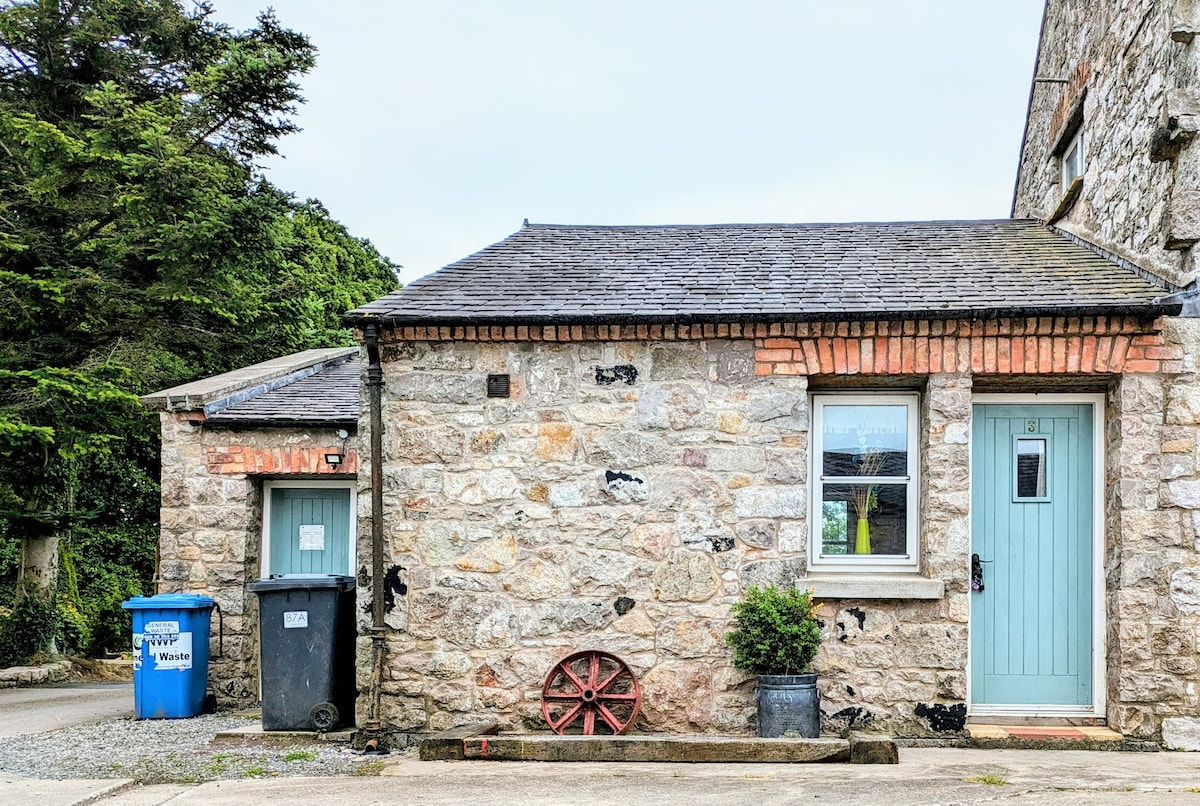 ENCLOSURE in BallyvallyENCLOSURE · 662 yd
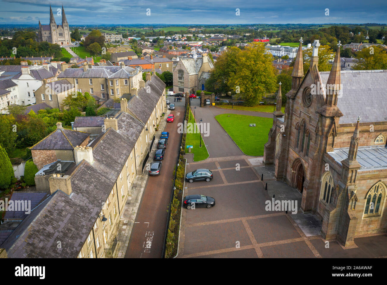 MULTIPERIOD CHURCH, GRAVEYARD & ENCLOSURE: CORNEGRALAGH, CASTRUM OHANLON in CornagrallyMULTIPERIOD CHURCH, GRAVEYARD & ENCLOSURE: CORNEGRALAGH, CASTRUM OHANLON · 1.5 mi
 Gosford Forest Park - Red TrailWalking route · 2.6 mi
 Gosford Forest ParkForest · 2.6 mi
 First Presbyterian ChurchChurch · 2.7 mi
 Methodist ChurchChurch · 2.7 mi
 CASTLE: GOSFORD CASTLE in Gosford DemesneCASTLE: GOSFORD CASTLE · 2.8 mi
 Gosford CastleCastle · 3.0 mi
 Newry Canal WayWalking route · 3.2 mi
 Clare GlenWood · 3.6 mi
 Canal WoodWood · 4.4 mi
 Scarva MemorialMemorial · 5.0 mi