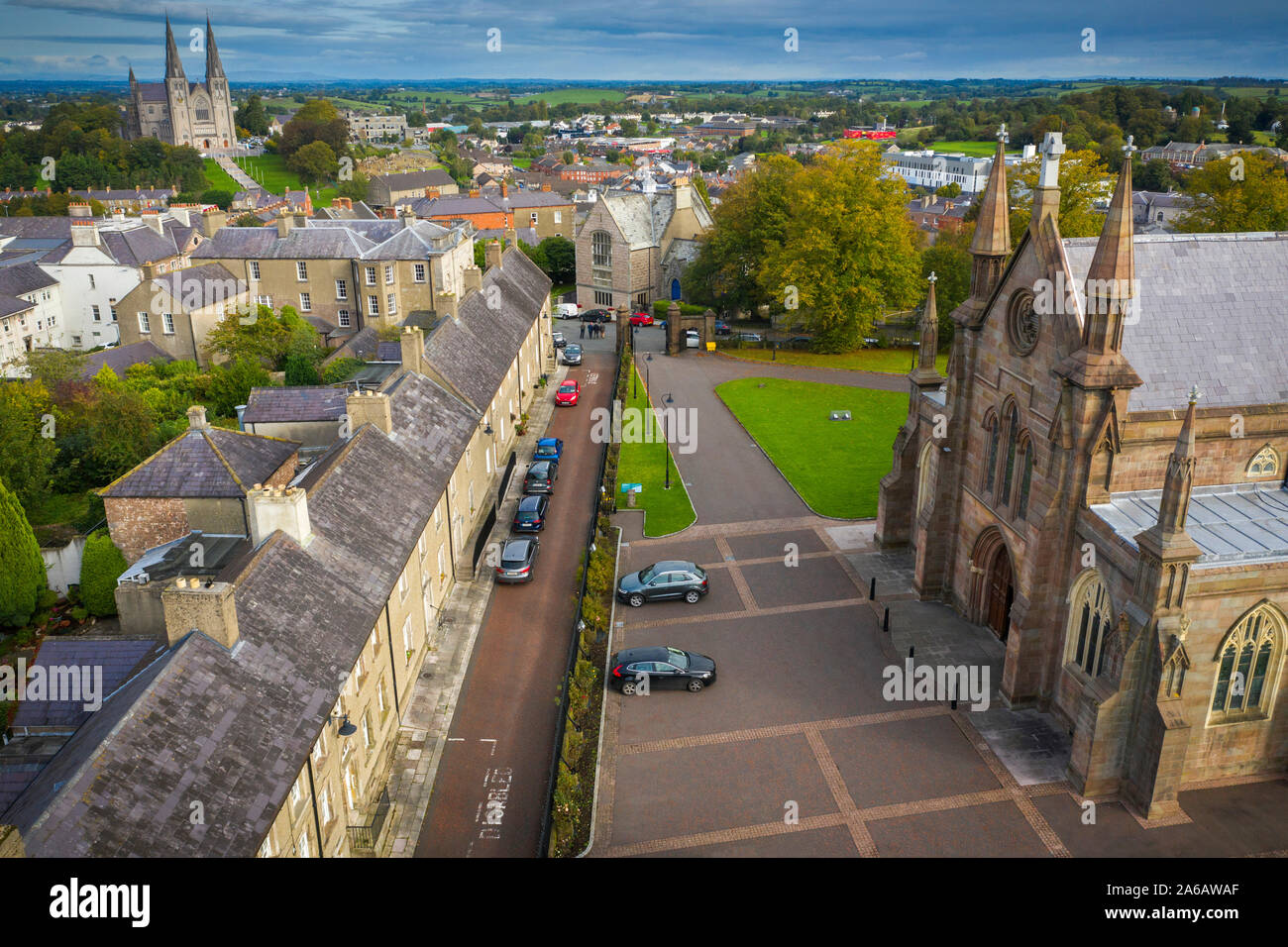
What is recorded here
Cornagrally holds a layered church and graveyard where Early Christian, medieval and modern lives crossed. The name Castrum Ohanlon suggests a fortress or stronghold behind the worship, yet no wall remains visible to prove it. People buried across centuries still fill the soil, their prayers and fears mixed beneath one roof.
The official Northern Ireland record identifies this as MULTIPERIOD CHURCH, GRAVEYARD & ENCLOSURE: CORNEGRALAGH, CASTRUM OHANLON. Recorded period: UNCERTAIN; MODERN; POST-MED; E.CHRIST.; MED/L.MED. Recorded protection: Listed. The official map point was placed at the centre of the recorded archaeological site from the source map reference.
The monument record does not grant public access. Check the route and ask the landowner before entering private land.
- What survives
- Recorded monument
Places near here
 ENCLOSURE in DrummiltENCLOSURE · 240 yd
 ENCLOSURE in BallydoghertyENCLOSURE · 1.3 mi
 St. Teresa's ChurchChurch · 1.7 mi
 First Presbyterian ChurchChurch · 3.6 mi
 Ballymoyer WoodWood · 3.6 mi
 Canal WoodWood · 3.6 mi
 Gosford Forest Park - Red TrailWalking route · 3.8 mi
 Gosford Forest ParkForest · 3.8 mi
 Newry Canal WayWalking route · 3.9 mi
 CASTLE: GOSFORD CASTLE in Gosford DemesneCASTLE: GOSFORD CASTLE · 3.9 mi
 CASTLE in LoughadianCASTLE · 3.9 mi
 POST-MED CHURCH; GRAVEYARD: BALLYMOYER OLD CHURCH or LISDROMAUDE in BallintemplePOST-MED CHURCH; GRAVEYARD: BALLYMOYER OLD CHURCH or LISDROMAUDE · 4.3 mi
Other information
Photo: Credit not shown in the picture search · Rights wording not checked; contact us if this picture should be removed