What is recorded here
Rath appears repeatedly across County Armagh, marking hidden forts, burial mounds and stubborn human presence on ordinary land. Some rath belongs to Ballenan, others to Ballygorman, Carrickastickan or Carrickbroad, yet each name preserves a place where people shaped the earth before written memory arrived. They are not decorative; they are receipts.
Rath is recorded as a archaeological place in County Armagh. Its open map record supplies this location and any linked names or public references.
Places near here
 A.P. SITEA.P. SITE, large circular enclosure · 1028 yd
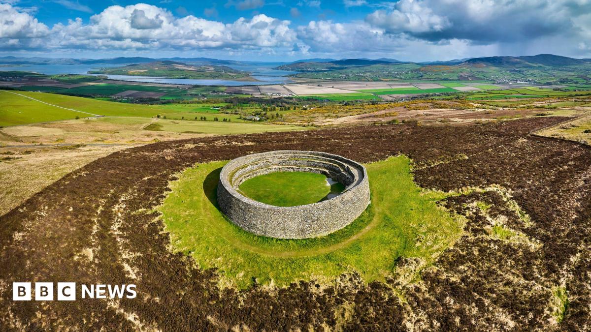 ENCLOSURE: THORNTONS FORT? in BallyknockENCLOSURE: THORNTONS FORT? · 1031 yd
_-_geograph.org.uk_-_3703419.jpg?width=1280) St. Mark's ChurchChurch · 1181 yd
St. Mark's ChurchChurch · 1181 yd St. James' ChurchChurch · 1366 yd
 TOWER-HOUSE: TANDRAGEE CASTLE, TONREGUE in TanderageeTOWER-HOUSE: TANDRAGEE CASTLE, TONREGUE · 1366 yd
 Stramore HouseCastle · 1.5 mi
 Glen View TrailWalking route · 2.2 mi
 Clare GlenWood · 2.2 mi
 Scarva MemorialMemorial · 3.0 mi
 Whitecoat PointHeadland · 3.2 mi
 PortadownVisitor information · 4.2 mi
 Newry Canal WayWalking route · 4.3 mi