_-_geograph.org.uk_-_3703419.jpg)
What is recorded here
The official Northern Ireland record identifies this as a Grade B listed building. Current recorded use: Church.
The official record and map point do not grant access. Many historic buildings are privately owned; view them only from public ground unless the owner allows entry.
Places near here
 TOWER-HOUSE: TANDRAGEE CASTLE, TONREGUE in TanderageeTOWER-HOUSE: TANDRAGEE CASTLE, TONREGUE · 191 yd
 Tandragee CastleCountry House · 207 yd
 St. James' ChurchChurch · 269 yd
 A.P. SITEA.P. SITE, large circular enclosure · 269 yd
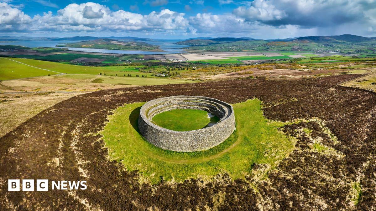 ENCLOSURE: THORNTONS FORT? in BallyknockENCLOSURE: THORNTONS FORT? · 1290 yd
 Glen View TrailWalking route · 1.5 mi
 Clare GlenWood · 1.6 mi
 Stramore HouseCastle · 2.0 mi
 Scarva MemorialMemorial · 2.6 mi
 Newry Canal WayWalking route · 3.7 mi
 Whitecoat PointHeadland · 3.8 mi
 PortadownVisitor information · 4.8 mi
Other information
Photo: Albert Bridge · CC BY-SA 2.0