
What is recorded here
Tanderagee Castle stands in County Armagh as a post-medieval tower house, its exact building date still uncertain but its shape clear enough to mark human ambition on open land. The structure likely served a local family as both home and warning, its height turning ordinary sky into a boundary they controlled. Whether it resisted invasion or simply watched rainfall cross the fields, the castle remains a vertical answer to flat terrain.
The official Northern Ireland record identifies this as TOWER-HOUSE: TANDRAGEE CASTLE, TONREGUE. Recorded period: UNCERTAIN; POST-MED; LATE-MED. The official map point was placed at the centre of the recorded archaeological site from the source map reference.
Tandragee Castle, also known as Tonreague Tower-House, was built in the late medieval period, likely by a local Gaelic or Anglo-Norman lord. It is remembered as a significant defensive structure in the historical landscape of County Armagh, reflecting the turbulent political and territorial struggles of the region during the late Middle Ages.
The monument record does not grant public access. Check the route and ask the landowner before entering private land.
- What survives
- Recorded monument
Places near here
 Tandragee CastleCountry House · 18 yd
_-_geograph.org.uk_-_3703419.jpg?width=1280) St. Mark's ChurchChurch · 191 yd
St. Mark's ChurchChurch · 191 yd A.P. SITEA.P. SITE, large circular enclosure · 439 yd
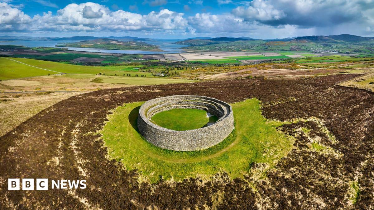 ENCLOSURE: THORNTONS FORT? in BallyknockENCLOSURE: THORNTONS FORT? · 1385 yd
 Glen View TrailWalking route · 1.4 mi
 Clare GlenWood · 1.5 mi
 Stramore HouseCastle · 2.2 mi
 Scarva MemorialMemorial · 2.6 mi
 Dunbarton HouseCastle · 2.6 mi
 Newry Canal WayWalking route · 3.6 mi
 Whitecoat PointHeadland · 3.9 mi
 PortadownVisitor information · 4.9 mi
Other information
Photo: HENRY CLARK · CC BY-SA 2.0