What is recorded here
Aghalislone holds a rath and barrow, marking the area as a place where ancient life still leaves shapes behind. The land may have served as a boundary, a burial ground, or a seasonal gathering point, though the exact use has faded. What remains is a reminder that human hands shaped the area long before modern records named it.
Rath is recorded as a archaeological place in County Antrim. Its open map record supplies this location and any linked names or public references.
Places near here
 ENCLOSURE in DunteigeENCLOSURE · 1073 yd
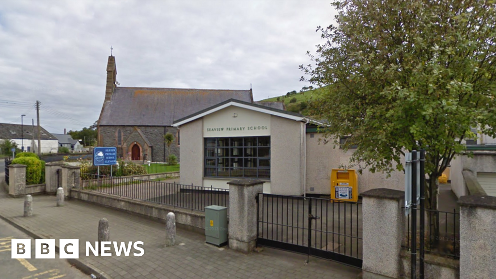 AP Cropmark: Possible circular enclosure in AughaboyAP Cropmark: Possible circular enclosure · 1218 yd
 Craigy HillMountain / peak · 1.2 mi
 BallycoosMountain / peak · 1.9 mi
 Glenarm ForestForest · 2.9 mi
 Presbyterian ChurchChurch · 4.2 mi
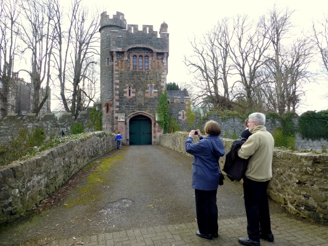 CASTLE (site of) in Town Parks (glenarm)CASTLE (site of) · 4.2 mi
 Glenarm CastleCastle · 4.2 mi
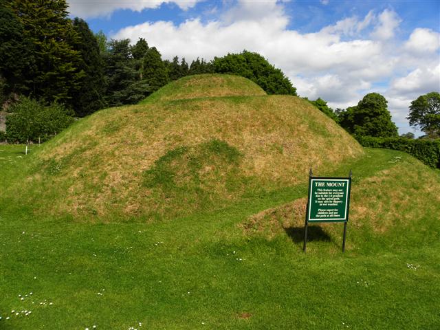 The MountViewpoint · 4.3 mi
 Ballygally CastleHeritage attraction · 4.3 mi
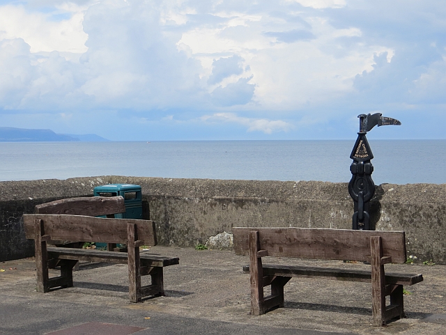 Millennium MilepostVisitor information · 4.3 mi
 FRANCISCAN FRIARY & CHURCH (in ruins) in Cloney, GlenarmFRANCISCAN FRIARY & CHURCH (in ruins) · 4.4 mi