
What is recorded here
Cloghfin holds a rath and a seventeenth-century bawn, marking continuous human occupation from the medieval era into POST-MED times. The layered earth suggests people kept returning to this exact spot, building defences and homes across centuries. Such persistence transforms a quiet field into a timeline of local survival, where every stone may have served life or protection.
The official Northern Ireland record identifies this as RATH & C17TH BAWN: BAWNTOWN. Recorded period: E.CHRIST.; POST-MED. The official map point was placed at the centre of the recorded archaeological site from the source map reference.
The monument record does not grant public access. Check the route and ask the landowner before entering private land.
- What survives
- Recorded monument
Places near here
 Historic Settlement Sixmilecross in Six Mile CrossHistoric Settlement Sixmilecross · 389 yd
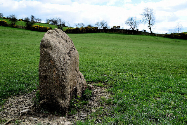 STANDING STONE in CloghfinSTANDING STONE · 412 yd
 Sixmilecross Presbyterian ChurchChurch · 613 yd
 Altamuskin Post OfficeHouse · 2.8 mi
 GRAVEYARD: RELIGNAMAN or RELICKNAMAN from RELIG NA MBAN The Women's' Graveyard in CarrickmoreGRAVEYARD: RELIGNAMAN or RELICKNAMAN from RELIG NA MBAN The Women's' Graveyard · 3.4 mi
 SlievemoreMountain / peak · 4.1 mi
 Seskinore ForestForest · 5.7 mi
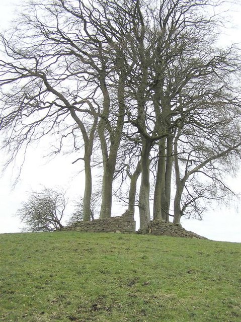 GRAVEYARD in GlenchuilGRAVEYARD · 6.0 mi
 SeskinoreForest · 6.2 mi
 Captain Stewart's HillMountain / peak · 6.4 mi
 KnockmanyArchaeological place · 7.6 mi
 PLANTATION CASTLE (site of): CASTLE HILL (unlocated) in BallynahattyPLANTATION CASTLE (site of): CASTLE HILL (unlocated) · 8.4 mi
Other information
Photo: Credit not shown · Copyright shown; no reuse licence shown