What is recorded here
The following description is derived from the published 'Archaeological Inventory of County Carlow' (Dublin: Stationery Office, 1993). In certain instances the entries have been revised and updated in the light of recent research.
Date of upload/revision: 17 July 2007
Small circular area enclosed by low earthen bank. Rises very slightly to centre (overall diam.. 14m; Wth of bank c. 1.5m).
Rath – Ballon is a ringfort, typically dating to the Early Christian or medieval period in Ireland. Its significance lies in its representation of early agricultural and defensive settlement patterns in the region.
The monument record does not grant public access. Check the route and ask the landowner before entering private land.
- What survives
- Recorded monument
Places near here
 Enclosure in Ballymogue (ballon Ed)Enclosure · 302 yd
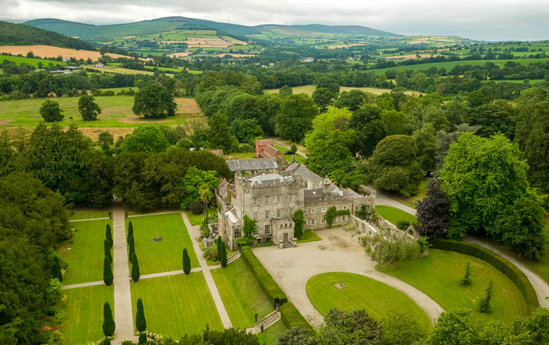 Enclosure in LarahEnclosure · 772 yd
 Catholic Church of Saint Peter and Saint Paulchurch/chapel · 1054 yd
 Church (in ruins), GraveyardChurch · 1112 yd
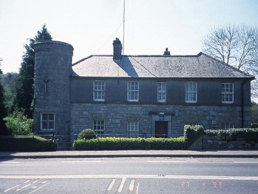 Ballon Garda Síochána StationRIC barracks · 1170 yd
 Castlegrace MoatCastle, motte · 1.1 mi
 Altamont Gardens MapVisitor information · 1.6 mi
 Scots PineScots Pine · 1.6 mi
 Altamont House and GardensHeritage attraction · 1.7 mi
 English hollyEnglish holly · 3.0 mi
 Ballynunnery Castle in ruinsCastle, unclassified · 3.8 mi
 Kilmurry Church (in ruins), GraveyardChurch · 3.8 mi