
What is recorded here
Rashenny Point is recorded as a headland in County Donegal. Its open map record supplies this location and any linked names or public references.
Rashenny Point is a coastal headland in County Donegal, composed primarily of Silurian greywacke and shale, formed around 440–420 million years ago through deep-marine sedimentation and subsequent tectonic uplift. It is notable for its resistant rock formations that have withstood extensive coastal erosion, contributing to the dramatic landscape of the northwest Irish coast.
Places near here
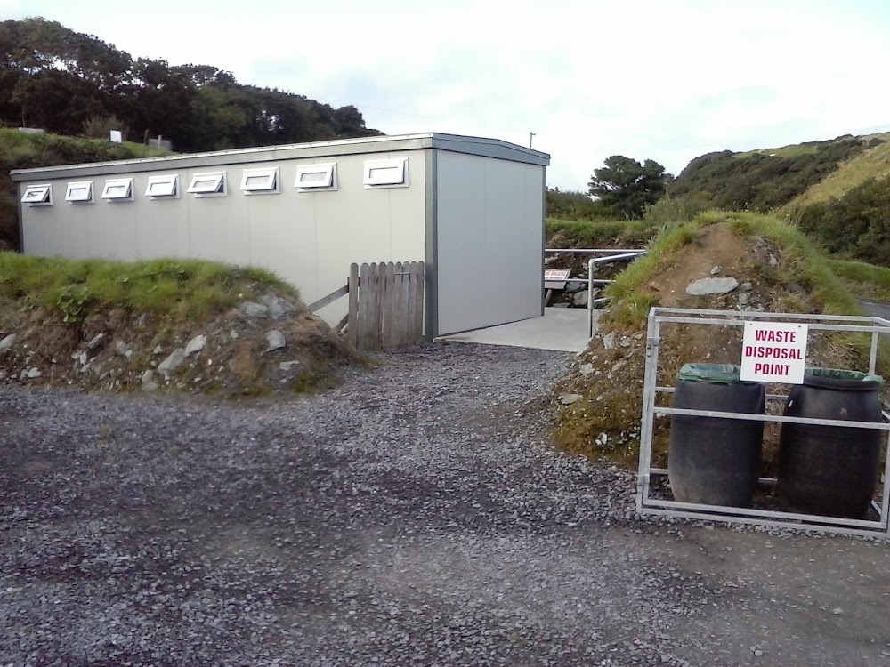 Roshin EnclosureEnclosure · 685 yd
 Carntullagh Head Inland EnclosureEnclosure · 787 yd
 Rotten IslandIslet · 831 yd
 Cat CastleCastle, tower house · 857 yd
 Rotten Island LighthouseLighthouse · 859 yd
 Carntullagh HeadHeadland · 939 yd
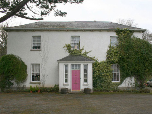 The Old Rectory or St. Catherine'srectory/glebe/vicarage/curate's house · 942 yd
 Bawn in KillybegsBawn · 1347 yd
 European BeechEuropean Beech · 1.5 mi
 Drumanoo HeadHeadland · 2.2 mi
 FintraOfficial bathing water · 2.2 mi
 Killaghtee Old Church GraveyardGraveyard · 2.3 mi
Other information
Photo: David Dixon · CC BY-SA 2.0