
What is recorded here
In pasture, located on a terrace on the S-facing slope of a limestone bluff, overlooking a small, steep-sided glen, on a broad peninsula which defines the E side of Killybegs Bay. The local terrain is sharply undulating, and broken by limestone outcropping. Rising ground restricts views to N, but there are excellent views to S over the bay. Ground falls away immediately to S for several meters, and then drops precipitously into the glen. The glen extends NE–SW, opening at its SW end onto a small stony beach.
Circular area (19m E–W; 18m N–S) defined by a stone wall, reduced now to wall-footings. The wall is evident as a low, gapped grass-covered rise (Wth 1.5-2m; int. H 0.2m; ext. H 0.2-0.5m), with stones protruding randomly around the circuit. There is a gap (Wth 3m) at W, possibly an original entrance. The interior is not raised relative to exterior ground level; in the N half it slopes down gently from N to S mirroring the natural gradient of the ridge.
Compiled by: Jane O'Shaughnessy
Date of upload: 29 November 2019
A local fairy fort (ringfort/rath); wider significance not recorded.
The monument record does not grant public access. Check the route and ask the landowner before entering private land.
- What survives
- Recorded monument
Places near here
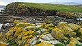 Carntullagh Head Coastal Promontory FortPromontory fort, coastal · 460 yd
 Rashenny PointHeadland · 787 yd
 Carntullagh HeadHeadland · 1213 yd
 Rotten IslandIslet · 1259 yd
 Rotten Island LighthouseLighthouse · 1285 yd
 Cat CastleCastle, tower house · 1398 yd
 St Catherine's WellHoly well · 1425 yd
 St Catherine's Church and FriaryChurch · 1517 yd
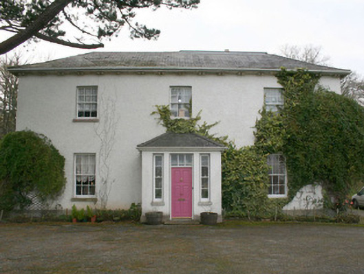 The Old Rectory or St. Catherine'srectory/glebe/vicarage/curate's house · 1544 yd
 Bawn in KillybegsBawn · 1732 yd
 European BeechEuropean Beech · 1.2 mi
 Killaghtee Old Church GraveyardGraveyard · 1.9 mi
Other information
Photo: Credit not shown in the picture search · Rights wording not checked; contact us if this picture should be removed