
What is recorded here
On a gentle S-facing slope in pastureland overlooking Galway Bay. This poorly preserved circular rath (diam. 34m) is defined by a bank, which is obscured by trees and bushes from W through N to S. A gap at NW is modern. Field walls surround the monument from S through W to NW and at N. When inspected in November 1982 the interior was clear, level and featureless. However, aerial imagery (https://binged.it/2Kh8uza, accessed 26 April 2018) indicates that a number of buildings have been constructed in the W half of the interior. (Holt 1912, 225; McCaffrey 1952, 147, no. 18)
Compiled by: Galway Archaeological Survey, UCG
Date of upload: 26 April 2018
The monument record does not grant public access. Check the route and ask the landowner before entering private land.
- What survives
- Recorded monument
Places near here
 Hilltop enclosure in TreanlaurHilltop enclosure · 353 yd
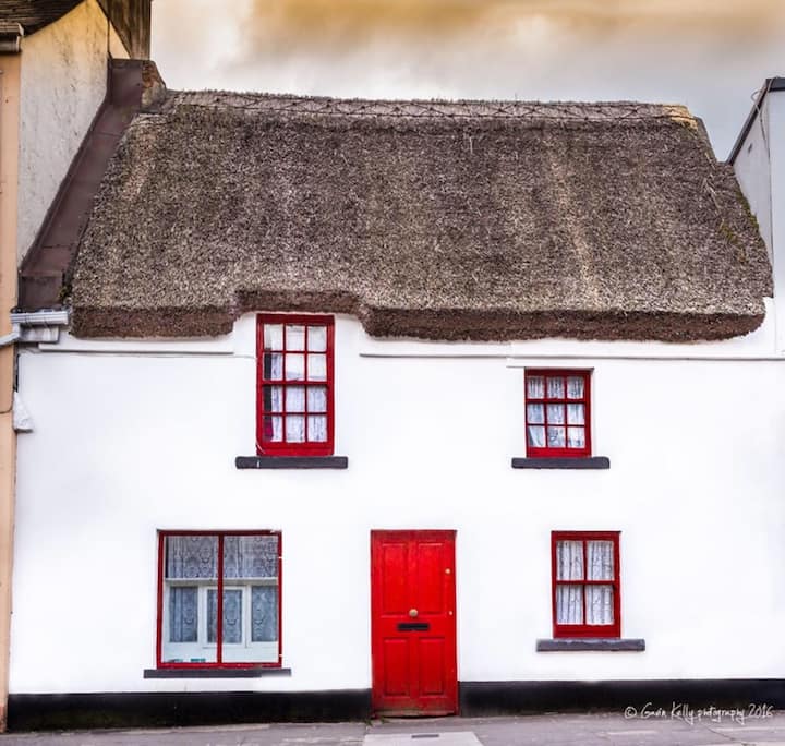 Stafort HouseRuins · 440 yd
 RaheennagowerFairy fort / earthen ringfort · 675 yd
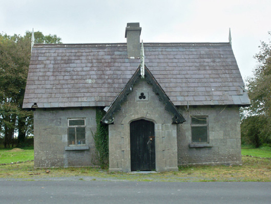 Rinville Parkgate lodge · 818 yd
 South WoodWood · 1372 yd
 CastleCastle, unclassified · 1577 yd
 North WoodWood · 1596 yd
 Leadmine HillMountain / peak · 1.5 mi
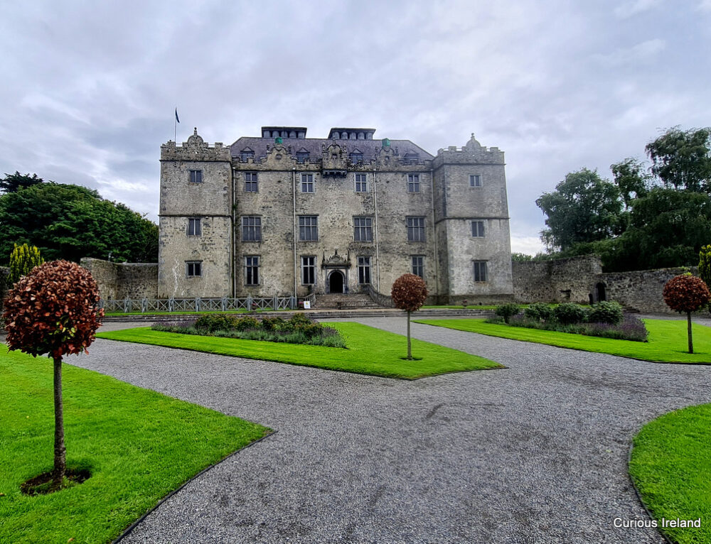 Moneyduff Castle (Site of)Castle, unclassified · 1.7 mi
 Ardfry PointHeadland · 2.3 mi
 Goose IslandIslet · 2.3 mi
 InishcorraIslet · 2.6 mi
Other information
Photo: Credit not shown in the picture search · Rights wording not checked; contact us if this picture should be removed