
What is recorded here
Map note: The map marks Raith Hill as a mountain or peak near Auchtertool, Fife, Scotland. The name does the climbing; the map shows where to look.
From OpenStreetMap (© OpenStreetMap contributors) n102694871
Places near here
Photo credits
- Maker not stated on source page, www.tripadvisor.ie
- Maker not stated on source page, www.youtube.com
- Walter Baxter, Wikimedia Commons · CC BY-SA 2.0
- Simon Johnston, Wikimedia Commons · CC BY-SA 2.0
- Richard Webb, Wikimedia Commons · CC BY-SA 2.0
- edward mcmaihin, Wikimedia Commons · CC BY-SA 2.0
- Maker not stated on source page, www.pinterest.com
- John Darcy, Wikimedia Commons · CC BY-SA 2.0
- Maker not stated on source page, www.stravaiging.com
- Bill Kasman, Wikimedia Commons · CC BY-SA 2.0
 Auchtertool Parish Church, ManseManse (19th Century) · 409 yd
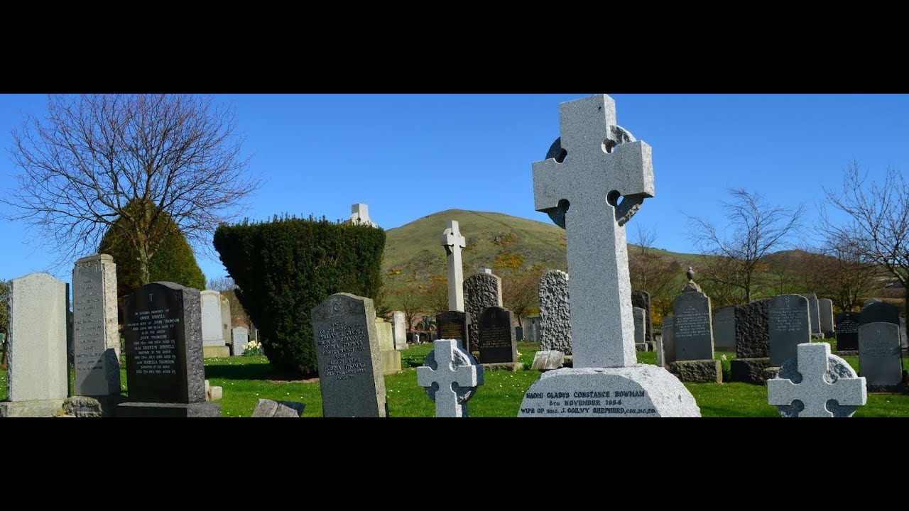 Auchtertool Kirk New CemeteryCemetery · 478 yd
 Auchtertool Parish Church, ChurchyardArmorial Panel (17th Century), Burial Ground (post Medieval), Grave Slab (18th Century), Grave Slab(s) (17th Century) · 501 yd
 Auchtertool Parish ChurchChurch (19th Century) (1833), War Memorial (20th Century) · 524 yd
 Kirkton CottagesCottage(s) · 814 yd
 AuchtertoolMilestone (19th Century) · 951 yd
 Castle Hill, AuchtertoolEnclosure (possible), Trench (first World War) (possible) · 1188 yd
 PitkinnieFarmhouse, Farmstead · 1218 yd
 Castle HillMountain / peak · 1257 yd
 BankheadFarmhouse, Farmstead · 1447 yd
 Hallyards CastleRuins · 1450 yd
 Auchtertool DistilleryDistillery · 1529 yd
More mountains and hills in Fife · All of Fife

What do you know about this place?Tap to add a comment or ask a question