What is recorded here
Lismahon, a raised rath in Ballykinler Lower, was reused as a motte, meaning people dismantled or rebuilt an older defensive mound to serve a later medieval purpose. The land itself records that change: first a boundary or stronghold, then a foundation for something taller and more deliberate. To walk its edge is to touch two ages at once, human hands stacking stone and soil across centuries until the hill became a instrument of power.
The official Northern Ireland record identifies this as RAISED RATH reused as MOTTE: LISMAHON. Recorded period: MEDIEVAL; E.CHRIST.. Recorded protection: Scheduled. The official map point was placed at the centre of the recorded archaeological site from the source map reference.
The monument record does not grant public access. Check the route and ask the landowner before entering private land.
- What survives
- Recorded monument
Places near here
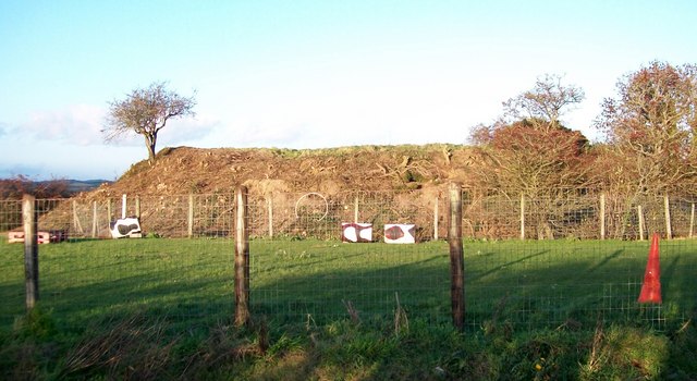 Lismahon MotteArchaeological place · 12 yd
 A.P. SITEA.P. SITE, circular bivallate enclosure · 459 yd
 FORTIFICATION: MACCOURTNEY'S CASTLE in Ballykinler UpperFORTIFICATION: MACCOURTNEY'S CASTLE · 1.1 mi
 Man-made underground passageCave · 1.4 mi
 Clough Non-Subscribing Presbyterian ChurchChurch · 1.5 mi
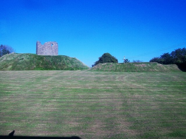 MOTTE & BAILEY AND TOWER-HOUSE: CLOUGH CASTLE in CloughMOTTE & BAILEY AND TOWER-HOUSE: CLOUGH CASTLE · 1.5 mi
 Clough Presbyterian ChurchChurch · 1.6 mi
 Mourne Coastal Route: Dundrum Main StreetVisitor information · 1.9 mi
 Castle PathWalking route · 1.9 mi
 Dundrum CastleHeritage attraction · 1.9 mi
 Seaforde Woodland WalkWalking route · 2.6 mi
 Dundrum Inner BayPicnic place · 3.0 mi