
What is recorded here
Indicated as a large subcircular enclosure (diam. c. 65m N-S; c. 74m E-W) with a public road running NW-SE through the centre. On the 1900 revision only the S portion, S of the road, is indicated. Satellite imagery suggests that both the N and S portions of the enclosure are now levelled, though the outline may be traceable at ground level.
Compiled by: Jean Farrelly
Date of upload: 1 March 2022
A local fairy fort (ringfort/rath); wider significance not recorded.
The monument record does not grant public access. Check the route and ask the landowner before entering private land.
- What survives
- Recorded monument
Places near here
 CloghvickreeRitual site, holy/saint's stone · 213 yd
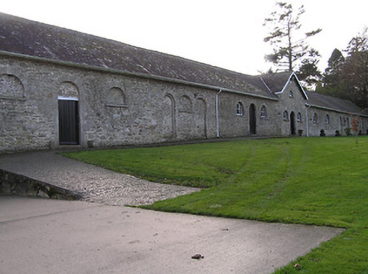 Mount Loftusfarmyard complex · 501 yd
 Drumroe Castle (ruins)Castle · 611 yd
 Enclosure in Gorteen (gowran By.)Enclosure · 690 yd
 Catholic Church of Our Lady of Lourdeschurch/chapel · 1059 yd
 Tinnakeenly BogForest · 1.0 mi
 The bogForest · 1.2 mi
 CastleCastle, motte · 1.2 mi
 The PoundMemorial · 4.1 mi
 Assembly RoomsMemorial · 4.3 mi
 Tullaherin Church and Round TowerVisitor information · 6.2 mi
 St. Mogarra’s WellSpring · 8.4 mi
Other information
Photo: Credit not shown in the picture search · Rights wording not checked; contact us if this picture should be removed