What is recorded here
In level pasture, enclosed by field boundary. Circular area (dims. 36m N-S; 34m E-W) defined by substantial flat-topped (Wth 1.0m) earthen bank (overall Wth 10.55m; int. H 1.65m; ext. H 2.05m). Causewayed entrance (Wth 5.75m) at NNW, breach (Wth 3.75m) at NE and large breach (Wth 6m) to SE. External fosse (basal Wth 1.9m; total Wth 9.15m; D 1.4m) is well preserved, although eroded by cattle at W. Earthen mound in fosse at SE is possibly material from breached bank at same. Fosse is wet and waterlogged in places along E arc due to adjoining wet patch. Interior generally level and planted with tall conifers. Thin earthen field boundary encloses monument.
Compiled by: Jean Farrelly
Date of upload: 26 August 2011
Raheennagirroge, Bannixtown is a circular early-medieval ringfort, likely dating to between the 5th and 10th centuries AD, characterized by a large earthen bank and a causewayed entrance. Local folklore, though not detailed in records, often associates such sites with fairy realms or ancient druidic activity.
The monument record does not grant public access. Check the route and ask the landowner before entering private land.
- What survives
- Recorded monument
Places near here
 Clare Castle (in ruins)Castle, hall-house · 1012 yd
 Clare Br.Bridge · 1067 yd
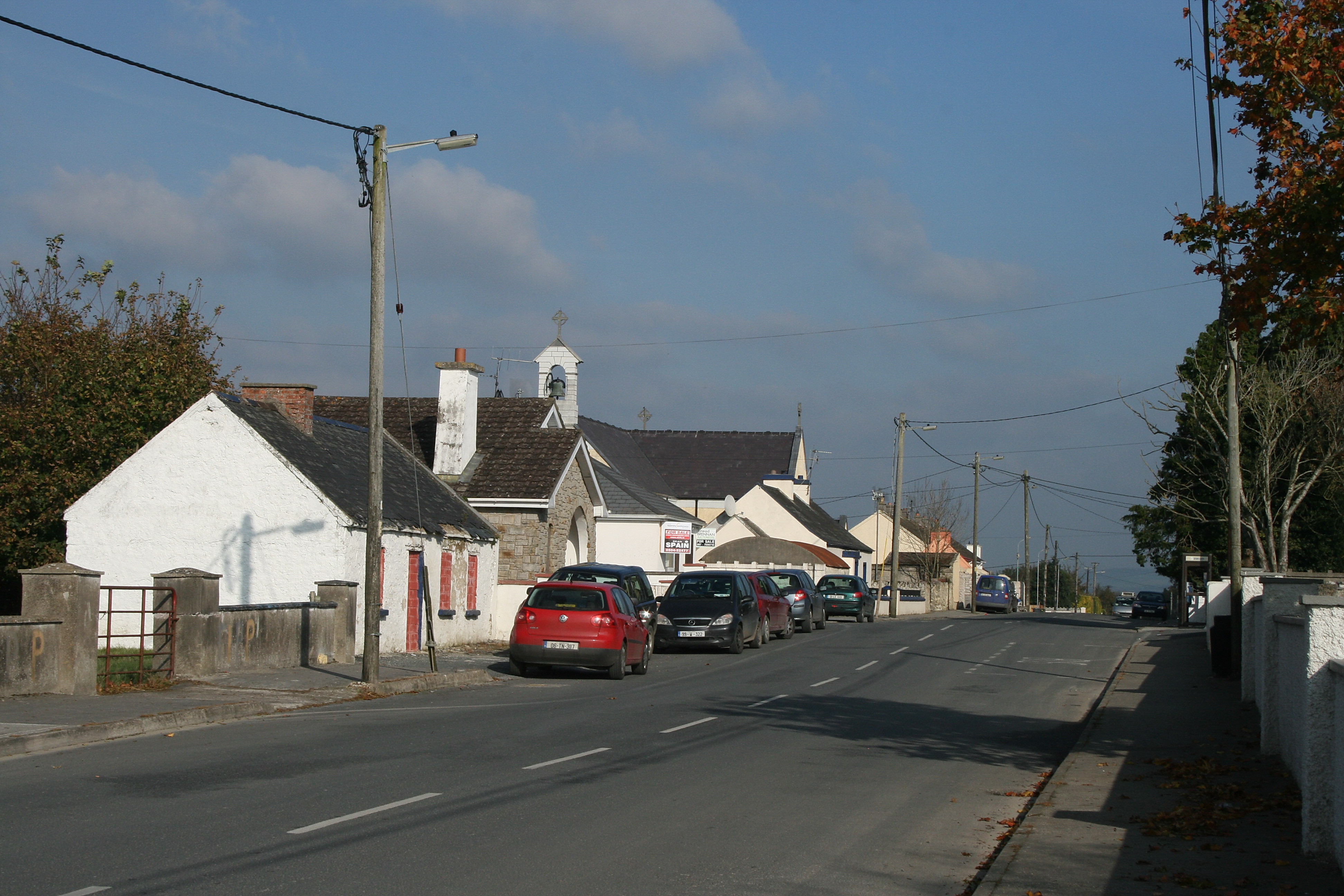 RaheenroeEnclosure · 1071 yd
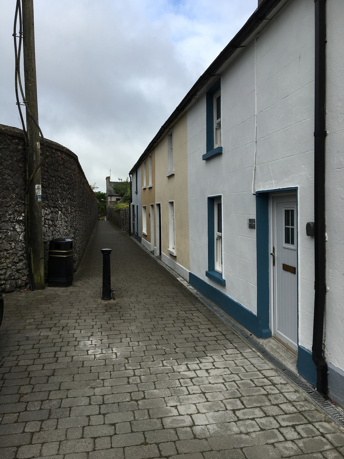 Enclosure in MilestownEnclosure · 1302 yd
 Killusty Bridgebridge · 1410 yd
 Ballinard CastleCastle, tower house · 1.1 mi
 Pedunculate OakPedunculate Oak · 1.8 mi
 CarrigdotiaMountain / peak · 2.1 mi
 Grove WoodForest · 2.4 mi
 East GateMemorial · 2.5 mi
 CarrickbrockMountain / peak · 2.6 mi
 Gobban Saer's GraveArchaeological place · 10 mi