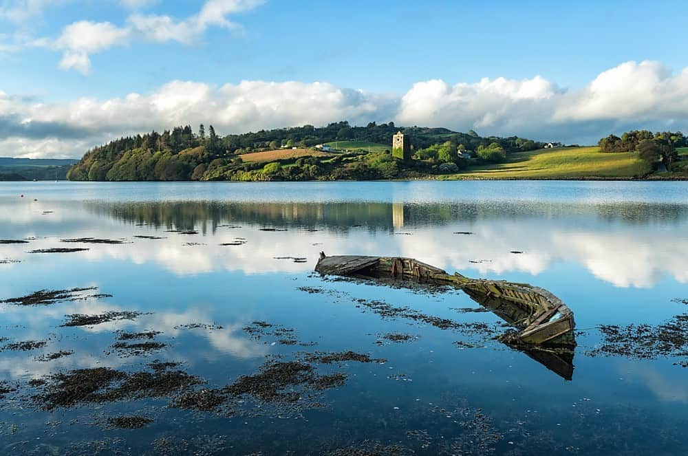
What is recorded here
In 'Rath Avenue', a modern housing development of semi-detached bungalows on the S side of Prosperous village. Described in 1972 as a circular rath (int. diam. 36m) defined by a low, inner earthen bank, a waterlogged fosse and traces of a second, outer bank on the W side, with a possible entrance at SW and standing on flat, poorly drained pasture (SMR file). The monument is now a landscaped, subcircular area (int. diams. 45m N-S; 41m E-W) defined by a broad, flat topped, earthen bank (Wth 2.9m at S - 4m at W; Int H 0.2-0.4m; ext. H 1.1-1.5m) retaining a raised, waterlogged interior, with a wide, straight-sided, machine-cut looking entrance gap (Wth 3.8m) at SE.
Compiled by: Gearóid Conroy
Date of upload: 10 June 2011
The monument record does not grant public access. Check the route and ask the landowner before entering private land.
- What survives
- Recorded monument
Places near here
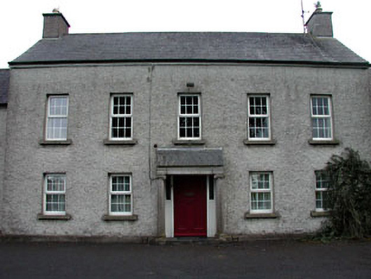 The Presbyteryhouse · 298 yd
 Catholic Church of Our Lady and Saint Josephchurch/chapel · 319 yd
 Enclosure in Downings NorthEnclosure · 524 yd
 Grand Canal WayWalking route · 683 yd
 Eldons FortFairy fort / earthen ringfort · 1048 yd
 Ballynafagh Bog Special Area of ConservationNature reserve · 1.2 mi
 The Kildare MazeHeritage attraction · 1.4 mi
 IndicatedCastle, motte · 1.7 mi
 Museum of MotorsportMuseum · 2.1 mi
 Blackwood Castle (in ruins)Castle, tower house · 2.2 mi
 1798 Rebellion MemorialMemorial · 2.8 mi
 Naas ParkWood · 5.6 mi
Other information
Photo: Credit not shown in the picture search · Rights wording not checked; contact us if this picture should be removed