What is recorded here
Located on top of Athgoe Hill. This monument comprises a circular, rounded area (int. diam. 44m) which is enclosed by a continuous internal fosse and external bank. The bank is flat-topped (Wth 5m; H 0.5m) and has narrow breaks in the E and W which are probably secondary. There are no corresponding causeways in the fosse (Wth 0.8m; D 0.35m). Within the interior are numerous bumps which were evidently caused by the removal of trees from the site (Healy, pers. comm. ; Thornton 1980; Swan 1986, 4-5). Part of a barrow (DU020-006----) lies c. 150m downslope and N of this ring-barrow.
Compiled by: Geraldine Stout
Date of revised upload: 12 December 2017
A Neolithic ring barrow; dates to the 4th–3rd millennium BCE. Its earthwork features suggest ritual or ceremonial significance, typical of Neolithic funerary monuments in Ireland.
The monument record does not grant public access. Check the route and ask the landowner before entering private land.
- What survives
- Recorded monument
Places near here
 Athgoe HillMountain / peak · 4 yd
 BarrowBarrow, unclassified · 185 yd
 Earthwork in AthgoeEarthwork · 305 yd
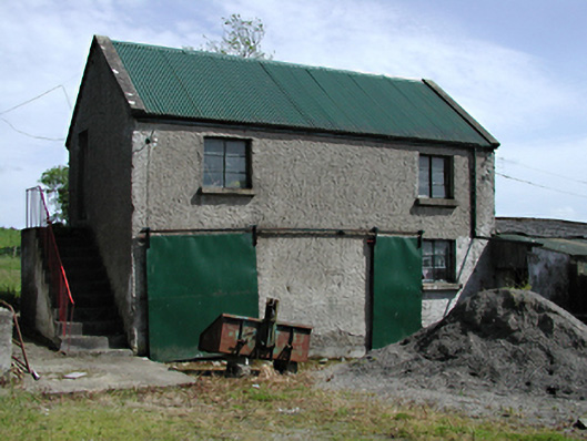 outbuildingoutbuilding · 323 yd
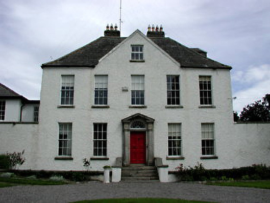 Athgoe Castlecountry house · 679 yd
 Saint Finian's WellSpring · 1265 yd
 Colmanstown Castle (in ruins)Castle, tower house · 1274 yd
 CastleCastle, tower house · 1349 yd
 European YewEuropean Yew · 1754 yd
 Icehouse WoodWood · 1.2 mi
 Inniscara GalleryGallery · 1.7 mi
 Grand Canal WayWalking route · 2.2 mi