
What is recorded here
Located on the N face of Athgoe Hill in an area indicated as a copse on the 1837 OS 6-inch map. A sub-circular area (diam. c. 46m) defined by a fosse (Wth 2.8m; D 0.9m) and an outer flat-topped bank in the NW and W (Wth 4m at base; 1.2m at top; H 0.6m) and by bushes in the E and SE. The interior of the site is planted with trees (Stout 1998, 151-2).
Compiled by Geraldine Stout
The monument record does not grant public access. Check the route and ask the landowner before entering private land.
- What survives
- Recorded monument
Places near here
 Athgoe HillMountain / peak · 184 yd
 Earthwork in AthgoeEarthwork · 320 yd
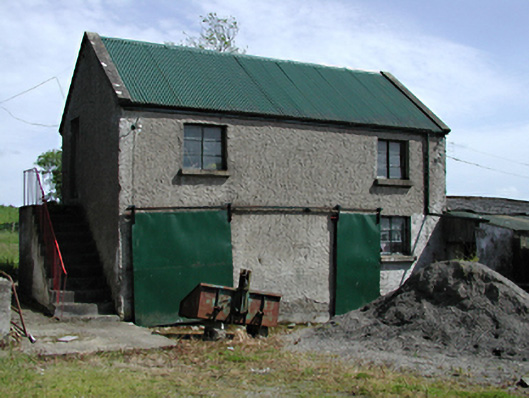 outbuildingoutbuilding · 493 yd
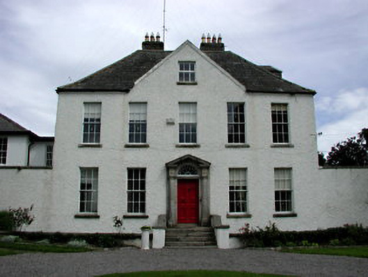 Athgoe Castlecountry house · 862 yd
 OutlinedHoly well · 1149 yd
 Saint Finian's WellSpring · 1157 yd
 CastleCastle, tower house · 1209 yd
 Colmanstown Castle (in ruins)Castle, tower house · 1386 yd
 European YewEuropean Yew · 1608 yd
 Icehouse WoodWood · 1.3 mi
 Inniscara GalleryGallery · 1.6 mi
 Grand Canal WayWalking route · 2.2 mi
Other information
Photo: Credit not shown in the picture search · Rights wording not checked; contact us if this picture should be removed