
What is recorded here
Half a mile north of the main road, a conifer shadow swallows the last human claim to the land. No wall remains, no gate, no chamber; only a line on a forgotten map and a name that sounds like breath on a cold stone. What Raheelin guarded, what it kept from the dark, has gone back into the earth. The forest does not remember people, only pressure, and pressure is all that built the fort.
Marked only on the 1910 ed. of the OS 6-inch map as an arc N-E-S of a bank (C c. 20m) which is described in gothic lettering as Raheelin’. It is located in a coniferous forest towards the bottom of an E-facing slope. No feature is visible at ground level.
The above description is derived from 'The Archaeological Inventory of County Leitrim' compiled by Michael J. Moore (Dublin: Stationery Office, 2003). In certain instances the entries have been revised and updated in the light of recent research.
Date of upload/revision: 12 December 2011
The monument record does not grant public access. Check the route and ask the landowner before entering private land.
- What survives
- Recorded monument
Places near here
 MONASTIC SITE WITH CROSS-SHAFT & BASE: KILCOO in FrevaghMONASTIC SITE WITH CROSS-SHAFT & BASE: KILCOO · 1.1 mi
 HOLY WELL: TOBERPATRICK in FrevaghHOLY WELL: TOBERPATRICK · 1.1 mi
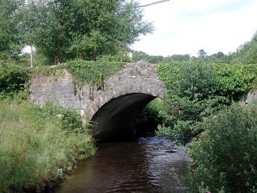 bridgebridge · 1.3 mi
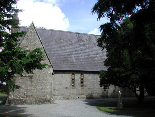 Kiltyclogher Church (Cloonclare)church/chapel · 1.4 mi
 Dough MountainMountain / peak · 2.2 mi
 Saddle HillMountain / peak · 2.3 mi
 Fowley's FallsPicnic place · 2.9 mi
 Ross PointHeadland · 3.4 mi
 Giant's GraveArchaeological place · 3.5 mi
 Crannoge IslandIslet · 4.4 mi
 Kilroosk RockNamed rock · 4.4 mi
 Sally IslandIslet · 4.7 mi
Other information
Photo: Credit not shown in the picture search · Rights wording not checked; contact us if this picture should be removed