What is recorded here
Hachured is a raised oval platform, 29m long and 20m wide, standing 120m west of Ahatemple Stream. It is a small fort, one of two recorded in the area, with a scarp and northern fosse still visible in pasture. The shape suggests a defended dwelling or marker, though no building remains.
In pasture, 120m W of Ahatemple Stream that runs N-S, a barrow (LI049-0268----) and enclosure (LI049-117----) lies 140m to the SE and 150m to the NE, respectively. Annotated 'Rahasteen' on the 1840 ed. OSi 6-inch map where it is depicted as a raised circular-shaped area defined by a scarp. Shown on the 1897 ed. OSi 25-inch map as a raised oval-shaped platform (dims. c. 29m N-S; 20m E-W) defined by a scarp, with fosse at N. In 1840 the Ordnance Survey recorded this monument as one of ‘two small forts about the centre of the td., one called Rahasteen (OSNB Abbeyfeale to Bruree, 229). Monument visible as raised oval shaped area defined by a fosse on OSi orthophotograph taken between 2005-12. Cultivation ridges are visible running across interior of monument on oblique aerial photograph (ASIAP) and on Google Earth orthoimages.
See attached oblique aerial photograph (ASIAP) and Google Earth orthoimages.
Compiled by: Fiona Rooney
Date of upload: 12 October 2021
The monument record does not grant public access. Check the route and ask the landowner before entering private land.
- What survives
- Recorded monument
Places near here
 Site of Ardorinnaghta ChurchChurch · 362 yd
 Field system in Killeen (coshlea By., Ballylanders Ed)Field system · 380 yd
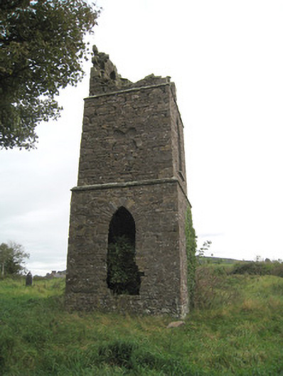 Duntryleague Church (Galbally)church/chapel · 1533 yd
 Ballylanders MillsWater mill, unclassified · 1560 yd
 Duntryleague - hachuredCastle, ringwork · 1595 yd
 Darby's Bed Walk LoopWalking route · 1.6 mi
 Duntryleague HillMountain / peak · 1.6 mi
 Site of Castle, Castle FieldCastle, unclassified · 1.9 mi
 Saint Patrick's WellSpring · 2.0 mi
 SlievereaghMountain / peak · 2.4 mi
 Edmund's WellSpring · 2.9 mi
 Carn (site of)Cairn, burial cairn · 3.2 mi