What is recorded here
On roadside c. 100m N of Lauragh Bridge (KE108-065----). Cruciform church (long axis NE-SW), rendered and much modernised. Lit by narrow pointed lights with main door within recent porch at SE end of NE wall of nave. Second door in SE wall of SW transept. Lean-to sacristy at the NW end of the chancel.
Compiled by: Elizabeth Byrne, Ursula Egan and Sheila Ronan, Archaeological Survey Unit, University College, Cork.
Date of upload: 30 May 2011
The monument record does not grant public access. Check the route and ask the landowner before entering private land.
- What survives
- Recorded monument
Places near here
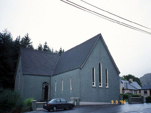 Saint Killian's Catholic Churchchurch/chapel · 1 yd
 Bridge in Derreen (glanarought By.)Bridge · 279 yd
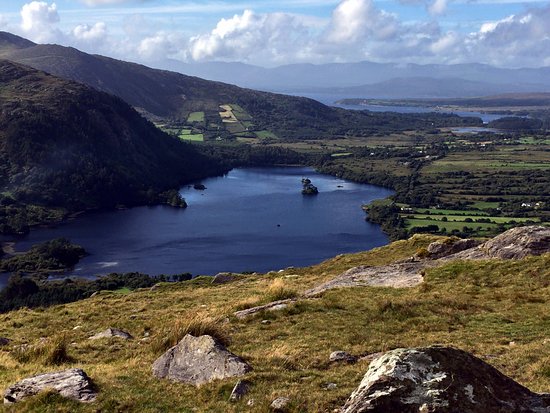 Man-made underground passage in Lauragh LowerMan-made underground passage · 492 yd
 New Zealand broadleafNew Zealand broadleaf · 853 yd
 Soft Tree-fernSoft Tree-fern · 897 yd
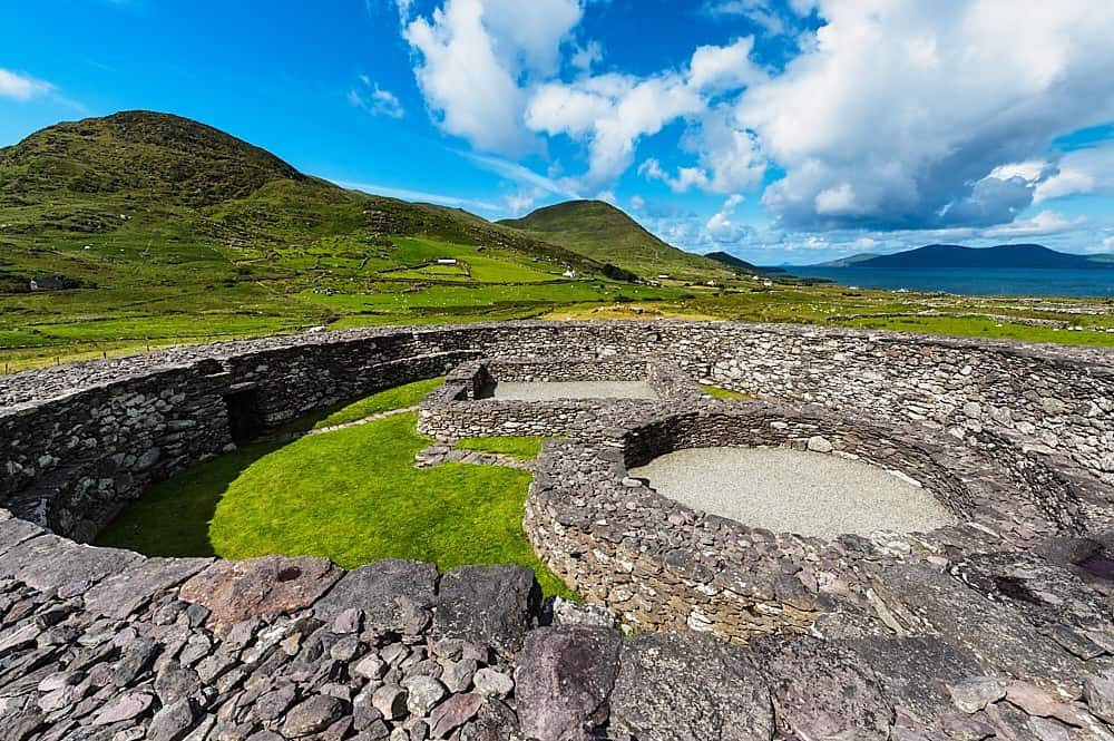 Fairy fort / earthen ringfort in Lauragh LowerFairy fort / earthen ringfort · 931 yd
 KnockateeMountain / peak · 1.1 mi
 DrombohillyMountain / peak · 1.2 mi
 Crane IslandIslet · 2.1 mi
 Duck RockIslet · 2.1 mi
 DroppaCliff · 3.3 mi
 Gleninchaquin WaterfallWaterfall · 5.2 mi