What is recorded here
On W side of road, adjacent to site of Annakisha House (home of the Nagles). No visible remains of church indicated on 1842 OS 6-inch map as rectangular structure (c. 30m NW-SE; c. 8m NE-SW) with small central projection on SW side. According to Grove White (1905-25, vol. 1, 62) was a thatched chapel built by Nagle family for private use, but served as chapel-of-ease in Killavullen parish until replaced in 1860 by St Crannacht's Church c. 1km to E.
The above description is derived from the published 'Archaeological Inventory of County Cork. Volume 4: North Cork' (Dublin: Stationery Office, 2000). In certain instances the entries have been revised and updated in the light of recent research.
Date of upload/revision: 14 January 2009
The monument record does not grant public access. Check the route and ask the landowner before entering private land.
- What survives
- Recorded monument
Places near here
 IndicatedEnclosure · 257 yd
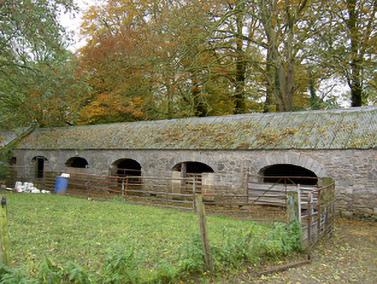 Annakisha Housefarmyard complex · 772 yd
 Clenor Church (in Ruins)Church · 1173 yd
 Tubber an eelingFairy fort / earthen ringfort · 1375 yd
 Scots PineScots Pine · 1.9 mi
 Carrig Castle (in Ruins)Castle, tower house · 2.0 mi
 Mallow Castle RuinRuins · 4.3 mi
 Anne's Grove GardensHeritage attraction · 4.5 mi
 In loving memory of Elvis O'DonoghueMemorial · 4.9 mi
 Mallow River TrailVisitor information · 4.9 mi
 Blackwater WayWalking route · 5.5 mi
 Horse Field WoodForest · 6.3 mi