What is recorded here
Clarke mentions the former existence of a harbour at the Pill in 1470 which was disused by 1610 (Clarke 2002, 27). Not precisely located.
From the National Monuments Service (Archaeological Survey of Ireland) record DU018-020949
The monument record does not grant public access. Check the route and ask the landowner before entering private land.
- What survives
- Recorded monument
Places near here
Photo credits
- National Inventory of Architectural Heritage
- Harold Strong, Geograph · CC BY-SA 2.0
- Filip Scridon, Wikimedia Commons · CC BY-SA 4.0
- Kieran Campbell, Geograph · CC BY-SA 2.0
- Paul Shanahan, Wikimedia Commons · CC BY-SA 4.0
- Keith Weller, Wikimedia Commons · Public domain
- renee_mcgurk, Wikimedia Commons · CC BY 2.0
- C. G. P. Grey, Wikimedia Commons · CC BY 2.0
- Graham Hogg, Geograph · CC BY-SA 2.0
 Rutland Fountain National Museum of Ireland Collins BarracksFountain · 23 yd
 National Museum of Ireland, Collins BarracksMuseum · 27 yd
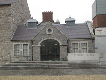 National Museum of Ireland Collins BarracksBuilding misc · 37 yd
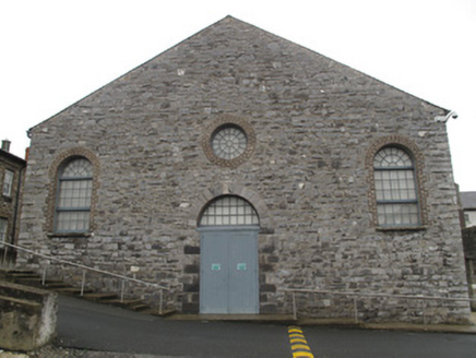 National Museum of Ireland Collins BarracksChurch/chapel · 37 yd
 Royal BarracksBarracks · 38 yd
 National Museum of Ireland Collins BarracksStore/warehouse · 63 yd
 National Museum of Ireland, Collins BarracksMuseum · 75 yd
_-_20190904133656.jpg/250px-County_Dublin_-_Croppies'_Acre_Memorial_Garden_(Dublin)_-_20190904133656.jpg "Photo: Paul Shanahan, Wikimedia Commons · CC BY-SA 4.0") Croppies Acre MemorialMemorial · 169 yd
Croppies Acre MemorialMemorial · 169 yd European Pear632 yd
 Silver maple1012 yd
 Wellington MonumentMonument · 1171 yd
 Executions of the leaders of the 1916 risingMemorial · 1.1 mi
More archaeology and monuments in County Dublin · All of County Dublin
What do you know about this place?