What is recorded here
On the W side of the channel linking Muckross Lake and the Upper Lake, c. 100m to the S of Old Weir Bridge (KE074-026----). A partially submerged pier (Wth c. 5m; L c. 14m; long axis E-W) with a paved upper surface; the E end is surfaced in concrete. The pier abuts a rock outcrop at S.
From the National Monuments Service (Archaeological Survey of Ireland) record KE074-044
The monument record does not grant public access. Check the route and ask the landowner before entering private land.
- What survives
- Recorded monument
Places near here
Photo credits
- National Inventory of Architectural Heritage
- Ian Macnab, Geograph · CC BY-SA 2.0
- Maker named on the Wikimedia Commons picture page · Public domain
- Marathon, Geograph · CC BY-SA 2.0
- Didier Descouens, Wikimedia Commons · CC BY-SA 4.0
- Wikimedia Commons contributor · Public domain
- Graham Horn, Geograph · CC BY-SA 2.0
- TJBrosnan at English Wikipedia, Wikimedia Commons · Public domain
- Ben Gamble, Geograph · CC BY-SA 2.0
- Pam Brophy, Wikimedia Commons · CC BY-SA 2.0
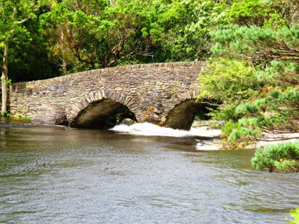 Old Weir BridgeBridge · 98 yd
 Meeting of the watersViewpoint · 284 yd
 English holly291 yd
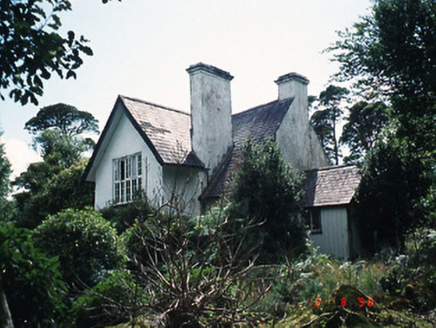 Dinish CottageWorker's house · 349 yd
 Bog BayBay · 496 yd
 Strawberry tree1153 yd
 Killarney National ParkHeritage attraction · 1727 yd
 Torc Mountain W TopMountain / peak · 1.1 mi
 Torc MountainMountain / peak · 1.4 mi
 Muckross Lake WalkWalking route · 1.8 mi
 Rough IslandIsland · 1.8 mi
 Torc WaterfallWaterfall · 1.9 mi
More archaeology and monuments in County Kerry · All of County Kerry
What do you know about this place?