What is recorded here
From the National Monuments Service (Archaeological Survey of Ireland) record CL068-053
Places near here
Photo credits
- Maker not stated on source page, www.flickr.com
- Maker not stated on source page, www.pinterest.com
- Kmcnamee, Wikimedia Commons · CC BY-SA 4.0
- National Inventory of Architectural Heritage
- Maker not stated on source page, www.dreamstime.com
- Maker not stated on source page, www.istockphoto.com
- Maker not stated on source page, www.go-to-ireland.com
- Tiger, Geograph · CC BY-SA 2.0
- Maker not stated on source page, www.gettyimages.com
- Charles W Glynn, Wikimedia Commons · CC BY-SA 2.0
- Golfing in Ireland; photographer not stated, Source publisher
- Charles W Glynn, Wikimedia Commons
 Fairy fort / earthen ringfort in DunneillFairy fort / earthen ringfort · 1704 yd
Explorer Tom Fairy fort / earthen ringfort in Dunneill thinks the local sheep are very opinionated critics of its architecture. It’s…
 Church in Breaghva (clonderalaw By.)Church · 1.3 mi
Explorer Tom Church in Breaghva would ace any job interview because it has excellent references from dead monks. It claims to be a…
 Killimer GAA pitchGAA ground · 1.3 mi
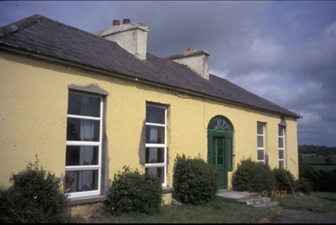 OaklandsHouse · 1.3 mi
Explorer Tom Oaklands in Knock (Clonderalaw), County Clare lost its wings in the 80s but kept its dignity. Built around 1800, it’s a…
 Fairy fort / stone ringfort in Burrane LowerFairy fort / stone ringfort · 1.5 mi
Explorer Tom Fairy fort / stone ringfort in Burrane Lower would describe the 1800s to a teenager as 'a time when everyone was madly…
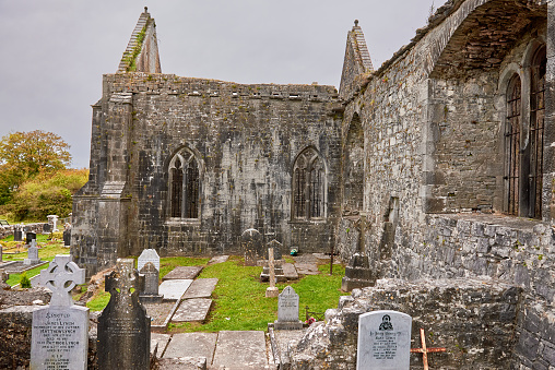 Mapped graveyardGraveyard · 1.5 mi
Explorer Tom Mapped graveyard in County Clare would write on its dating profile: 'Seeker of quiet, hater of noise, available if you…
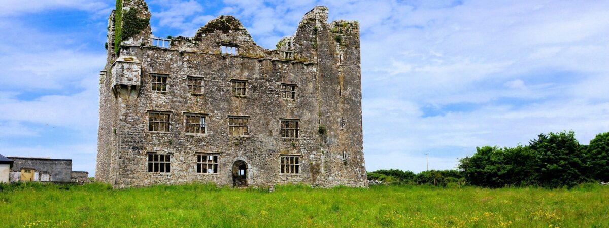 Castle (in Ruins)Castle, tower house · 1.7 mi
Explorer Tom Castle in Doonnagurroge is mysterious as hell, sitting there judging everyone. It probably thinks it’s a very expensive…
 St Senan's WellSpring · 1.8 mi
Explorer Tom St Senan's Well holds the unofficial world record for 'Most Patience Required to Find,' having been lost on purpose…
 Mapped cemeteryCemetery · 3.2 mi
Explorer Tom This Mapped cemetery in County Clare is hiding a scandal where two families agreed to bury their rivals next to each…
 Ballymacrinan BayBay · 3.8 mi
Explorer Tom Ballymacrinan Bay is run by a dog who thinks he’s the local king and barks at every cloud that passes overhead. It’s…
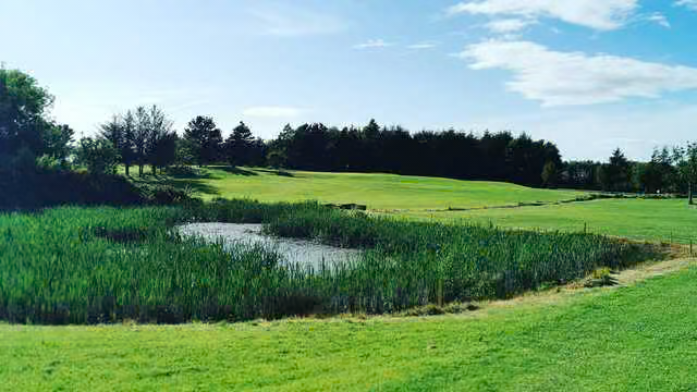 Kilrush Golf ClubGolf course · 4.0 mi
 Vandeleur Walled GardenHeritage attraction · 4.5 mi
Explorer Tom Vandeleur Walled Garden has walls high enough to make you suspect the flowers are keeping a secret. Follow the avenue…
More historic places in County Clare · All of County Clare

What do you know about this place?Tap to add a comment or ask a question