What is recorded here
Marked only on the 1916 ed. of the OS 6-inch map as a hachured feature. It is situated on a W-facing slope. This is a quarry (dims c. 50m E-W; c. 40m N-S). Compiled by: Michael Moore Date of upload: 27 August, 2013
The monument record does not grant public access. Check the route and ask the landowner before entering private land.
- What survives
- Recorded monument
Places near here
 Ballinalacken CastleCastle · 1094 yd
 Doolin Cave Visitor CentreHeritage attraction · 1.0 mi
 Doolin CaveCave · 1.0 mi
 ( Polldonough ?)Cave · 1.0 mi
 IndicatedEnclosure · 1.0 mi
 Enclosure in Ballynalackan (cloghaun Ed)Enclosure · 1.1 mi
 Spectacle Bridgebridge · 1.6 mi
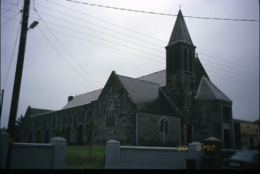 Corpus Christi Catholic Churchchurch/chapel · 1.7 mi
 OughtdarraCliff · 1.9 mi
 The BurrenHeritage attraction · 2.0 mi
 BallyryanCliff · 2.1 mi
 CastleCastle, unclassified · 2.4 mi