What is recorded here
Cropmark of circular-shaped pit or small quarry (approx. diam. 14m) visible on Google earth aerial imagery and hachured as a small hollow depression or quarry on the revised 6-inch map and the 25-inch OS map. Not depicted on the first edition of the OS 6-inch map.
See attached image taken from Google Earth aerial photographs taken 28/06/2018
Compiled by: Caimin O'Brien based on details provided by Jean-Charles Caillère
Date of upload: 02 April 2019
The monument record does not grant public access. Check the route and ask the landowner before entering private land.
- What survives
- Recorded monument
Places near here
 Enclosure in MullamastEnclosure · 958 yd
 St. Patricks WellHoly well · 1281 yd
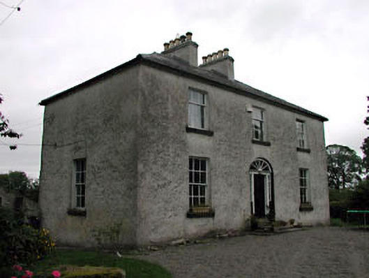 Glassely Housemiller's house · 1585 yd
 Church in GlasselyChurch · 1604 yd
 Burtown House and GardensHeritage attraction · 1.6 mi
 Narraghmore WoodWood · 1.6 mi
 CrookanurnWood · 2.1 mi
 Gorden Bennet Race memorialMemorial · 2.1 mi
 Ardscull MoatCastle, motte · 2.1 mi
 History of Moat of ArdscullVisitor information · 2.2 mi
 CastleCastle, unclassified · 2.4 mi
 Battle of Kilrushbattle · 3.0 mi