What is recorded here
Situated at the SE portion of the outer rampart of Mooghaun hillfort (CL042-074001-). One of two large quarries contemporary with the hillfort (see CL042-074018-). A substantial rock outcrop, with an E face rising 6m about the surrounding terrain has clearly been reduced through the systematic removal of large blocks. A general estimate, based on the exposed stump of bedrock still visible, suggests that not less than 1200m3 of material, and possibly as much as 2500m3, was obtained from this source. The spoil from the quarry runs downslope to the SE where it clearly underlies the rampart. (Condit and Grogan 2005, 127, 222-3)
Compiled by: Mary Tunney
Date of upload: 5 January 2016
The monument record does not grant public access. Check the route and ask the landowner before entering private land.
- What survives
- Recorded monument
Places near here
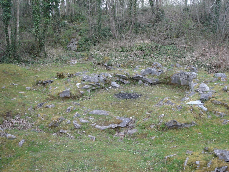 IndicatedHillfort · 156 yd
 Mooghaun HillfortArchaeological place · 187 yd
 Enclosure in Mooghaun SouthEnclosure · 194 yd
 Mooghaun WoodsWood · 490 yd
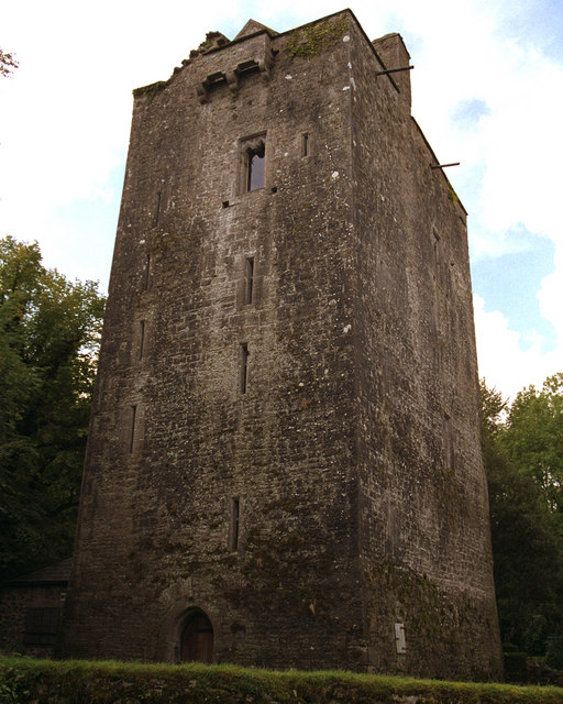 Mooghaun castleCastle · 694 yd
 Castle (in Ruins)Castle, unclassified · 1564 yd
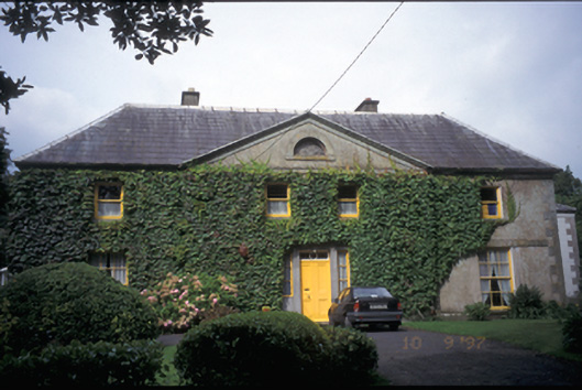 Newmarket Househouse · 1.6 mi
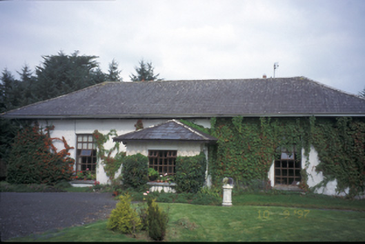 Ballycar Househouse · 1.6 mi
 HawthornHawthorn · 2.0 mi
 Quin AbbeyHeritage attraction · 2.6 mi
 G.A.A. Commemorative StoneMemorial · 4.4 mi
 Irish Famine MemorialMemorial · 4.4 mi