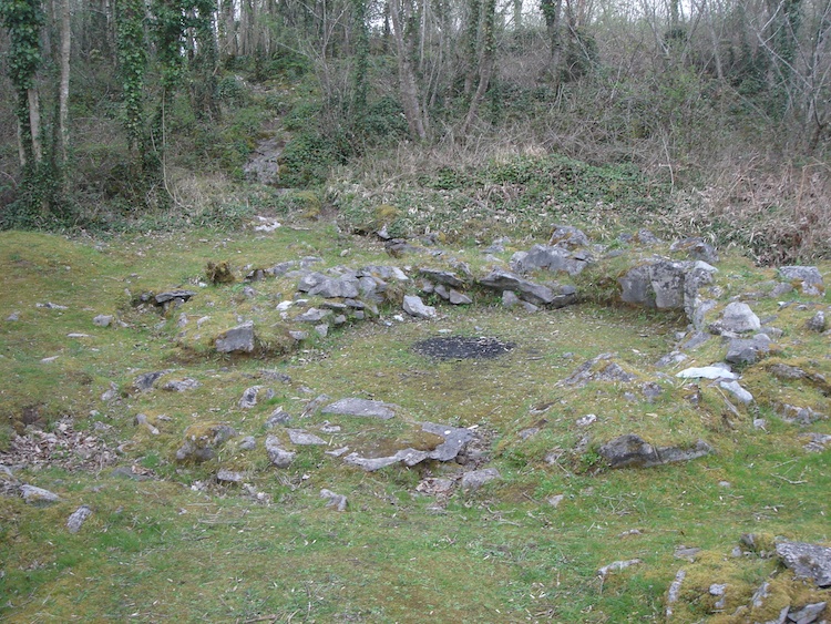
What is recorded here
Indicated is a massive triple-walled hillfort on a Clare limestone summit, built around 900 BC to control the Shannon Estuary and river Fergus. Its staggered entrances forced visitors to walk a long meandering track before reaching the inner circle, where a cairn still marks the highest point for ceremony or gathering. The scale suggests pride rather than mere defence, as if the builders wanted the journey itself to feel like a test before entry.
A trivallate hillfort, occupying the entire summit of a prominent limestone hill, c. 2.5km NE of Newmarket-on-Fergus, with commanding views over SE Clare, the Shannon Estuary to the S and the river Fergus to the W. It has three roughly concentric ramparts comprising massive walls of uncoursed stone. The outer rampart encloses an area of about 11 hectares and the ramparts have a total length of 2.1km. Each rampart is set along the outer edge of a natural step in the limestone thereby enhancing the apparent height. It is believed that the ramparts were built as a single enterprise over a period of about a decade and the radiocarbon evidence as a whole suggests that this would have occurred in the final two decades of the tenth century BC. Survey and excavation (licence no. 92E0093) by the Discovery Programme, as part of the North Munster Project, took place in 1992-4.
The inner rampart (av. H 1.5m; Wth 6-9m) encloses an area of 0.75 hectares (diam. 110m E-W; 90m N-S). Variations in slope and topography account for some differences in construction and the building of a later cashel (CL042-074002-) on top of the middle rampart caused considerable destruction at SW. While Westropp (1908-9) indicated three gaps in this rampart, these represent modern access points. A previously unrecorded gap (av. Wth 0.9m) at SE faced with slabs and upright blocks was identified during pre-excavation clearance. The track leading to this had to meander around the hill following a circuit between the staggered entrances through the three ramparts.
The middle rampart (Wth 8-11m; ext. H up to 3.5m) encloses an area of 2.88 hectares (192m E-W; 191m N-S). At SW the rampart is 6m in external height and only 0.5m high internally. Of the four gaps in the middle rampart only the one at N (Wth 2.4m) appears to be original. It was slab-faced and ran straight through the main, inner, portion of the rampart but angled sharply to the W through the outer portion. There is a small rectangular intramural chamber (2.8m x 1.4m; D 1.6m) in the NW quadrant of this rampart of unknown purpose. A length of wall (80m) extends along the NW quadrant c. 3m inside the middle rampart and appears to be an original feature. As mentioned above, a cashel (CL042-074002-) was built on top of this rampart at SW.
The outer rampart is composed of a large inner bank of stones with a smaller outer bank and an intervening fosse. The scale of these three components alters in accordance with changes in the hill slope and topography. Several entrances have been noted and mapped but only one (Wth 2m) at SW is considered to be original. The terminals of the banks are very well defined at this location and the undug causeway across the fosse is flanked by the incurving horns of both banks.
The inner rampart probably enclosed the area within which special gatherings and ceremonies took place, possibly centred on the cairn (CL042-074013-). Radiocarbon evidence as a whole suggests that the ramparts were built as a single enterprise over about a period of a decade towards the end of the 10th century BC.
A number of monuments occur within the hillfort. A cairn (CL042-074013-) occupies the highest point in the interior. A cashel (CL042-074004-) on the outer rampart at NW is on the site of an earlier enclosure (CL042-073003-) and there is a cashel (CL042-074002-) on the middle rampart at SW. There are three other enclosures outside the middle rampart at NW (CL042-074008-, CL042-074009-, and CL042-074010-) and three unenclosed round houses (CL042-074014-, CL042-074015-, CL042-074016-) between the inner and middle ramparts at SW. Mooghaun hillfort is a National Monument in state care, no. 649. (Grogan 2005)
The following images are attached:
CL042-074001-_01 Aerial view from SW
CL042-074001-_02 Aerial view from W
CL042-074001-_03 Aerial view from NE
CL042-074001-_04 Aerial view from ENE
Compiled by: Mary Tunney
Date of upload: 5 January 2016
The monument record does not grant public access. Check the route and ask the landowner before entering private land.
- What survives
- Recorded monument
Places near here
 Mooghaun HillfortArchaeological place · 38 yd
 Enclosure in Mooghaun SouthEnclosure · 265 yd
 Mooghaun WoodsWood · 393 yd
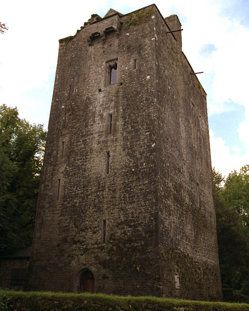 Mooghaun castleCastle · 541 yd
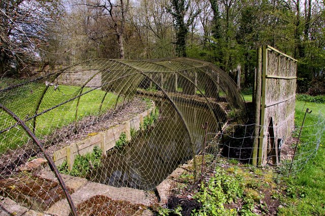 Enclosure in LangoughEnclosure · 825 yd
 Castle (in Ruins)Castle, unclassified · 1561 yd
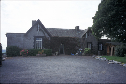 Glenviewrailway station · 1.6 mi
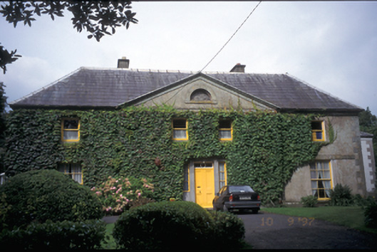 Newmarket Househouse · 1.6 mi
 HawthornHawthorn · 1.9 mi
 Quin AbbeyHeritage attraction · 2.6 mi
 G.A.A. Commemorative StoneMemorial · 4.3 mi
 Irish Famine MemorialMemorial · 4.3 mi
Other information
Photo: Credit not shown in the picture search · Rights wording not checked; contact us if this picture should be removed