What is recorded here
On a moderate N-facing slope on the western summit of the Silvermine Mountains, in rough upland grazing. Silvermines village lies at the base of the hill, c. 1.7km to the NNW, with the Silvermines mining complex at the base of the hill, to the S of the village. There are panoramic view from NW to E with Lough Derg visible to the N.
A steep-sided sub-circular hollow (Wth at base 8.7m N-S; 5m E-W; Wth at top 16.6m N-S; 16.3m E-W; max. H 3.95m) identified and reported by Barry O'Donoghue. The sides are covered in gorse while the fairly flat floor has rushes, suggesting it can become waterlogged. There are smaller depressions from E to SW where the sides have been dug into. The hollow is accessed via a well-defined N-facing entrance (L 14m; Wth 1.4m at N end, widening to 1.8m as it enters the hollow), with a bank (E bank overall Wth 6.4m; Wth at crest 4.45m; int. H 1.72m; ext. H 1.59m; W bank Wth 2m; int. H 1.84m; ext. H 0.2m) on either side. The interior ground level rises slightly towards the entrance and at the entrance slopes gently downwards towards the N. Slate is evident in patches where the ground has been exposed. On the upper rim of the hollow on the E side there is evidence of a bank, probably upcast, which is not evident to the S or W.
It is very unusual to get a small quarry of this type on the summit of a mountain. It may be related to mining activity.
Compiled by: Jean Farrelly
The monument record does not grant public access. Check the route and ask the landowner before entering private land.
- What survives
- Recorded monument
Places near here
 Silvermines ViewpointViewpoint · 461 yd
 Lead Mine/Calamine Lead Mine/Sulpher mine/CopperMine · 1500 yd
 Silvermine Mountains E TopMountain / peak · 1515 yd
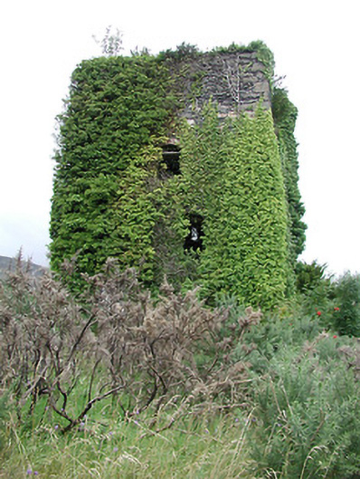 Silvermines Calamine and Lead Minesengine house · 1549 yd
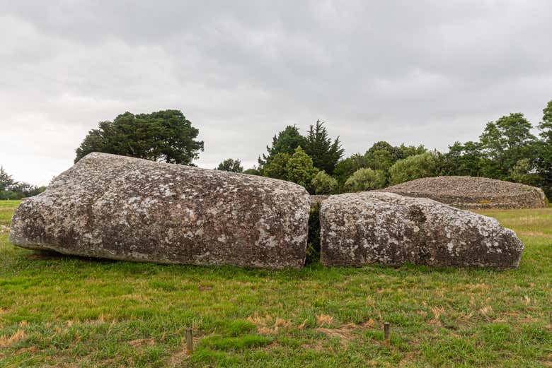 Megalithic structure in Bauraglanna,lackabrack (killoscully Par.)Megalithic structure · 1.0 mi
 Our Lady Assumed into HeavenMemorial · 1.1 mi
 The MinerMemorial · 1.1 mi
 Sweet ChestnutSweet Chestnut · 1.4 mi
 Dunalley Castle (in ruins)Castle, unclassified · 1.4 mi
 Silvermine Mountains W TopMountain / peak · 1.6 mi
 Dermots and Granias Bed (site of)Megalithic structure · 1.7 mi
 Site of Ballygown CastleCastle, unclassified · 2.1 mi