What is recorded here
Listed as ‘Enclosure, possible’ in the SMR (1992) and the RMP (1996) as it was hachured on the 1922 OS 6-inch map. However, it is hachured on the OS 25-inch map and named ‘Quarry (disused)’. This was confirmed on inspection in 2001.
Compiled by: Mary Tunney
Date of upload: 1 April 2015
The monument record does not grant public access. Check the route and ask the landowner before entering private land.
- What survives
- Recorded monument
Places near here
 Enclosure in BallinaEnclosure · 578 yd
 Fairy fort / earthen ringfort in KnockphutteenFairy fort / earthen ringfort · 610 yd
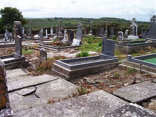 Killofin Church (in Ruins)Church · 1343 yd
 Kilkerin Church (in ruins)Church · 1.1 mi
 Mountshannon WoodWood · 1.3 mi
 Mountshannon EstateHeritage attraction · 1.4 mi
 Mountshannon PointHeadland · 1.4 mi
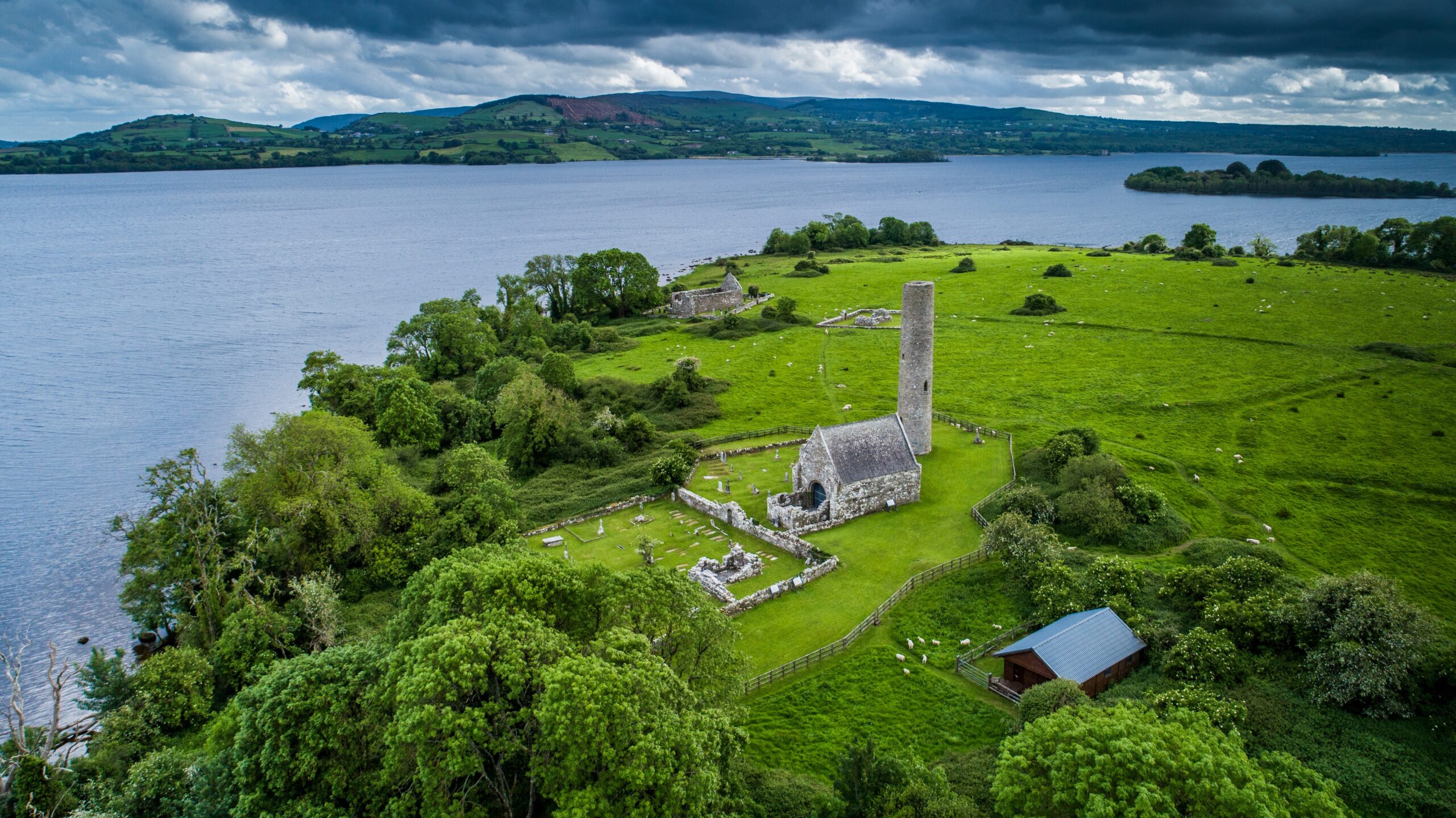 Castle (in Ruins)Castle, tower house · 1.4 mi
 Killanna PointHeadland · 1.5 mi
 Crag WoodWood · 1.9 mi
 Labasheeda QuayVisitor information · 2.0 mi
 Labasheeda Fort (19th Century)Castle · 2.2 mi