What is recorded here
On an E-facing slope. Included in the SMR (1986) as an enclosure on the basis of a cropmark on an aerial photograph (CUCAP, BGN 21). Found on inspection (in August 1989) to be a quarry.
Compiled by: Mary Tunney
Date of upload: 18 December 2012
The monument record does not grant public access. Check the route and ask the landowner before entering private land.
- What survives
- Recorded monument
Places near here
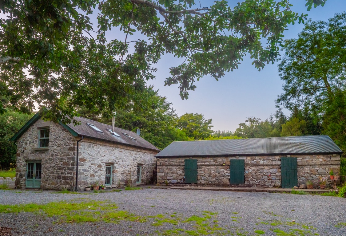 Enclosure in Knocknamuck UpperEnclosure · 92 yd
 Church in UnknownChurch · 477 yd
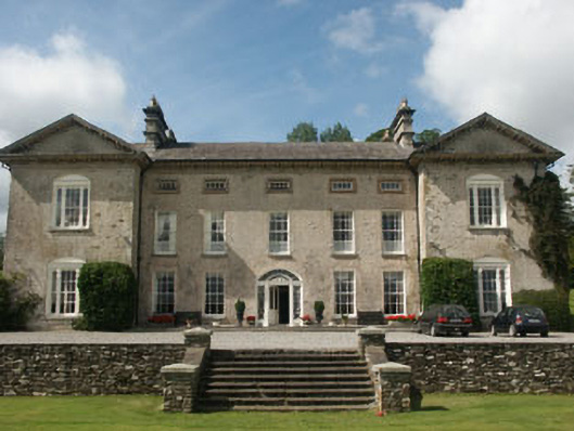 Ballynure Housecountry house · 860 yd
 Enclosure in KnockariggEnclosure · 876 yd
 Grangecon Castle (in ruins)Castle, tower house · 1373 yd
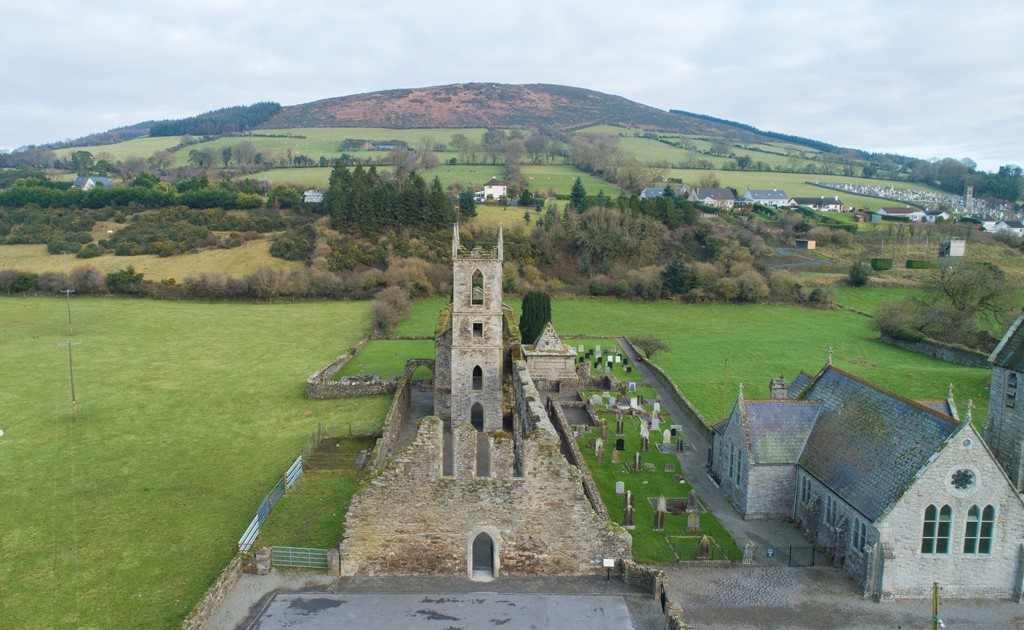 Ballycore RathCastle, motte and bailey · 1.4 mi
 Spratstown Fox CovertWood · 1.9 mi
 European LarchEuropean Larch · 2.7 mi
 Ballyhook HillMountain / peak · 2.9 mi
 Tinoran HillMountain / peak · 2.9 mi
 Burtown House and GardensHeritage attraction · 4.8 mi
 Battle of Kilrushbattle · 6.2 mi