What is recorded here
From the National Monuments Service (Archaeological Survey of Ireland) record GA117-038
Places near here
Photo credits
- National Inventory of Architectural Heritage
- Maker not stated on source page, oldeuropeanculture.blogspot.com
- Maker not stated on source page, www.pinterest.com
- Maker not stated on source page, au.pinterest.com
- Golfing in Ireland; photographer not stated, Source publisher
 Newbridge BridgeBridge · 580 yd
Explorer Tom Newbridge Bridge in Gortanummera is a single-arch bridge that was built after some river drainage works and road…
 Bullaun stone in GortanummeraBullaun stone · 897 yd
Explorer Tom Bullaun stone in Gortanummera is a pink granite rock that looks like it rolled in from another planet. It has a basin…
 Catholic Church of the AscensionChurch/chapel · 1229 yd
Explorer Tom Catholic Church of the Ascension in Creggeen is showing off its new tower in job interviews. It says, 'I moved house…
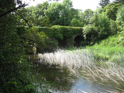 Ballyshrule BridgeBridge · 1674 yd
Explorer Tom Ballyshrule Bridge has been here for 170 years, so it’s seen every bad decision made by drivers. A fox once took charge…
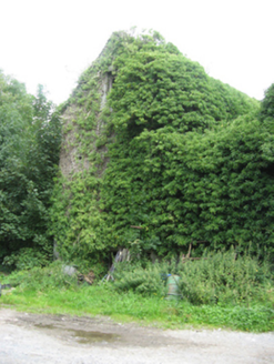 Killeen HouseMill (water) · 1747 yd
Explorer Tom Killeen House is a water mill that nearly got famous for being too fancy. The machinery inside is rusty, but the whole…
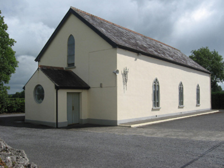 Catholic Church of the Sacred HeartChurch/chapel · 1.1 mi
Explorer Tom Catholic Church of the Sacred Heart in Killeen South had a barn phase before getting all fancy with glass. A goat once…
 water pump1.1 mi
Explorer Tom Water pump in Loughaunroe East is still working and has strong opinions about the road leading to it. With its…
 Bullaun stone in LickmolassyBullaun stone · 1.1 mi
Explorer Tom Bullaun stone in Lickmolassy is stuck in concrete inside a church corner, looking trapped. Its secret talent is…
 Church (in ruins)Church · 1.1 mi
Explorer Tom Church in Lickmolassy would tell its replacement that it had better luck. It’s been on Church Hill since before most…
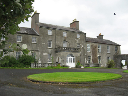 Flowerhill HouseCountry house · 1.5 mi
Explorer Tom Flowerhill House in Bouluskeagh is showing off its limestone balustrades like it paid for them itself. It survived a…
 CastleCastle, motte and bailey · 1.8 mi
Explorer Tom Castle in Moat is a motte and bailey that started from a bet two lads made in the pub. One said he could build a hill…
 Portumna Golf ClubGolf course · 2.5 mi
More historic places in County Galway · All of County Galway

What do you know about this place?Tap to add a comment or ask a question