
What is recorded here
This record was formerly classed as a 'possible enclosure' in Glanlarehan in the RMP (1997). There is no supporting file for this record in the Archive Unit, Archaeological Survey of Ireland, 6, Ely Place Upper, Dublin 2 (Paul Walsh 23 June 2006). Depicted as a small quarry on Cassini ed. OSi 6-inch map and on 1892 ed. OSi 25-inch map. Outline of circular-shaped earthwork/hollow visible on Digital Globe orthophoto taken between 2011-13. Probably the remains of a shallow depression associated with post-1700 quarrying.
Compiled by: Caimin O'Brien
Date of upload: 22 April 2022
The monument record does not grant public access. Check the route and ask the landowner before entering private land.
- What survives
- Recorded monument
Places near here
 LisnagarlaghArchaeological place · 384 yd
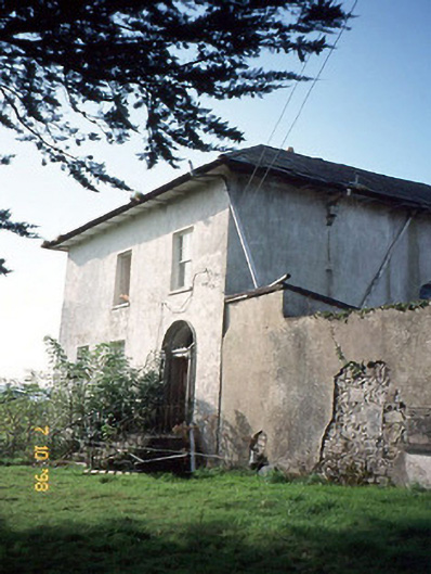 Kilmurry Househouse · 1122 yd
 Ballyplimoth CastleCastle · 1194 yd
 Castle (in ruins)Castle, unclassified · 1311 yd
 Parkalassa FortArchaeological place · 1557 yd
 Kilmurry Church (in ruins)Church · 1575 yd
 Crag CaveCave · 2.2 mi
 KnockateeMountain / peak · 2.5 mi
 Mount EagleMountain / peak · 2.8 mi
 PouldermotCave · 9.3 mi
 Nohaval WoodWood · 12 mi
 Kilflynn Nature ReserveNature reserve · 12 mi
Other information
Photo: Credit not shown in the picture search · Rights wording not checked; contact us if this picture should be removed