What is recorded here
Listed as ‘Enclosure, possible’ in the SMR (1992) and the RMP (1996). Visible as a small circle of hachures on the 1916 OS 6-inch map but indicated as a ‘Gravel pit, disused’ on the OS 25-inch map (1893). This quarry (c. 25m x c. 20m; max. D 2-3m) is D-shaped with the straight side at E where it abuts a N-S field wall. There is no spoil mound associated with it.
Compiled by: Michael Moore and Mary Tunney
Date of upload: 7 October 2014
The monument record does not grant public access. Check the route and ask the landowner before entering private land.
- What survives
- Recorded monument
Places near here
 Tobernaneeve (Site of)Holy well · 1013 yd
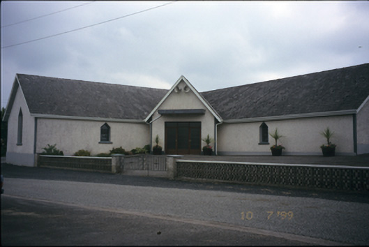 Catholic Church of the Immaculate Conceptionchurch/chapel · 1453 yd
 CastleCastle, unclassified · 1.0 mi
 IndicatedFairy fort / earthen ringfort · 1.3 mi
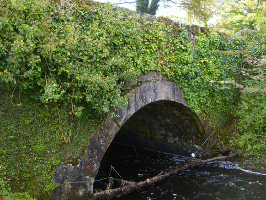 bridgebridge · 1.5 mi
 Ardamullivan Castle (in ruins)Castle, tower house · 2.8 mi
 Mulkere MemorialMemorial · 2.9 mi
 Derrymore WoodWood · 4.0 mi
 Swan IslandIsland · 4.3 mi
 Apple IslandWood · 4.8 mi
 Kilmacduagh Monastic SiteVisitor information · 6.2 mi
 Mullagh MoreMountain / peak · 7.3 mi