What is recorded here
Listed as ‘Earthwork’ in the SMR (1992) and the RMP (1996). Visible as a small semi-circle of hachures abutting a roadway on the 1916 OS 6-inch map but indicated as a ‘Gravel pit, disused’ on the OS 25-inch map (1893). This is a quarry (c. 20m x c. 10m; max. D 2-3m), D-shaped with the straight side at N where it abuts the road. It is covered in stones of assorted sizes that may have been field stones.
Compiled by: Michael Moore and Mary Tunney
Date of upload: 7 October 2014
The monument record does not grant public access. Check the route and ask the landowner before entering private land.
- What survives
- Recorded monument
Places near here
 IndicatedFairy fort / stone ringfort · 1521 yd
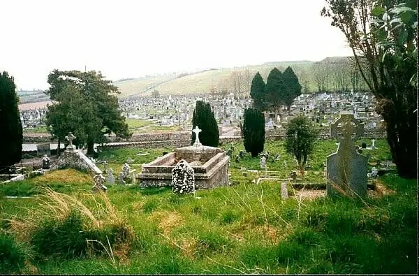 Enclosure in DrumumnaEnclosure · 1.4 mi
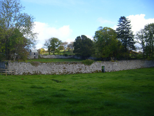 Cregg Housewalled garden · 1.5 mi
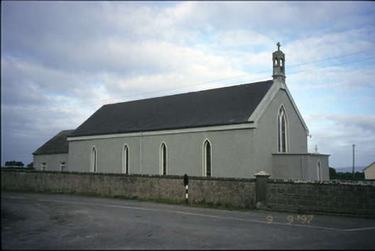 Saint Michael's Catholic Churchchurch/chapel · 1.6 mi
 CastleCastle, unclassified · 2.0 mi
 Bawn in Castlequarter (inchiquin By.)Bawn · 2.3 mi
 Mulkere MemorialMemorial · 2.4 mi
 Derrymore WoodWood · 4.4 mi
 Swan IslandIsland · 4.6 mi
 Dromore WoodWood · 5.1 mi
 Kilmacduagh Monastic SiteVisitor information · 5.5 mi
 Castle IslandIsland · 5.9 mi