What is recorded here
Listed as ‘Enclosure’ in the SMR (1992) and the RMP (1996). A small hachured feature is indicated on the 1897 OS 6-inch map and is hachured and named ‘Quarry’ on the OS 25-inch map. On inspection in 2000 no evidence of any earlier features were found.
Compiled by: Mary Tunney
Date of upload: 16 December 2014
The monument record does not grant public access. Check the route and ask the landowner before entering private land.
- What survives
- Recorded monument
Places near here
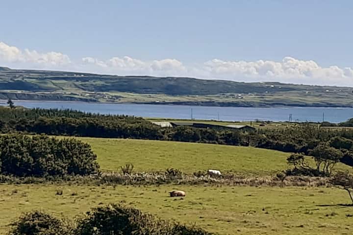 LisnafahaFairy fort / earthen ringfort · 1.3 mi
 LiscaseyFairy fort / earthen ringfort · 2.4 mi
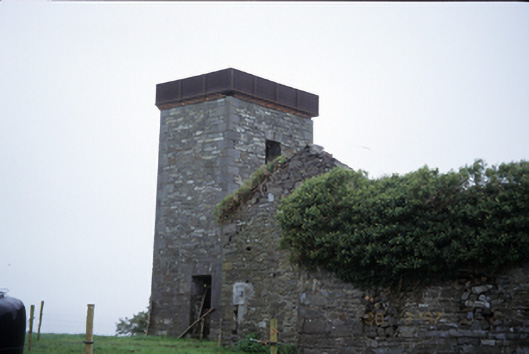 Ballyleaanwater tower · 3.2 mi
 Knockalough Castle (in Ruins)Castle, unclassified · 3.8 mi
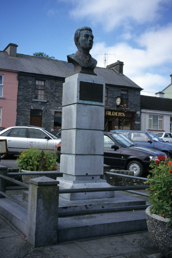 Peadar Mac Fhlannchadha Monumentmonument · 4.0 mi
 Peadar Mac Fhlannchadha MemorialMemorial · 4.0 mi
 Ballynacragga PointHeadland · 4.8 mi
 CastleCastle, unclassified · 5.0 mi
 Gammarel PointHeadland · 7.1 mi
 Monterey CypressMonterey Cypress · 7.2 mi
 Crag WoodWood · 7.5 mi
 Prospect HillMountain / peak · 9.5 mi