What is recorded here
Listed as ‘Enclosure’ in the SMR (1992) and the RMP (1996). Named on the OS 25-inch map (1895) as ‘Gravel pit (disused)’ and indicated as a pit on the 1919 OS 6-inch map. This is remembered locally as a hollow and on inspection in 1999 it was verified as such. Compiled by: Mary Tunney Date of upload: 15 October 2014
The monument record does not grant public access. Check the route and ask the landowner before entering private land.
- What survives
- Recorded monument
Places near here
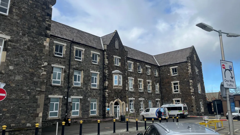 Workhouse Burial GroundArchaeological place · 1276 yd
 Famine MemorialMemorial · 1403 yd
 Enclosure in AttycristoraEnclosure · 1531 yd
 Kilmanahn GraveyardRuins · 1.1 mi
 Catholic Church of Our Lady and Saint Michaelchurch/chapel · 1.2 mi
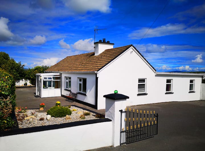 Woodmount HouseRuins · 1.2 mi
 Glen Castle (in Ruins)Castle, tower house · 1.5 mi
 TullygarvanWood · 1.5 mi
 Lahinch BeachBeach / strand · 1.8 mi
 Dough CastleRuins · 1.9 mi
 John P. Holland CentreMuseum · 3.4 mi
 Liscannor BayBay · 4.0 mi