What is recorded here
In pasture, located on a gentle NE-facing slope, overlooking Lough Conn which is 250m to NE.
Not shown on the 1838 OS 6-inch map; shown on the 25-inch plan and on the 1922 OS 6-inch edition as a hachured circle, with a small oblong feature at its centre. On the 25-inch plan it is annotated ‘Pump’.
It consists of a flat-topped earthen platform (diam. 10.6m) defined by a scarp. The scarp is low (H 0.3m at SW) on the SW half; it is stone-faced and more substantial (H 1.5m at NE) on the NE half where it is cut into the natural slope. A deep, stone-faced shaft is sunk into the centre of the platform, above which is mounted an iron pump wheel and gears. This is a post-1700 water-pump. It was associated with a building, located 140m to SW, which is indicated as ‘Errew House (hotel) on the 25-inch plan, and as ‘Convent’ on the later 1922 OS 6-inch edition.
Compiled by: Jane O'Shaughnessy
Date of upload: 14 August 2019
The monument record does not grant public access. Check the route and ask the landowner before entering private land.
- What survives
- Recorded monument
Places near here
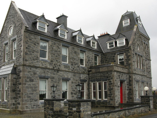 Errew Housecountry house · 181 yd
 Enclosure in Errew (tirawley By.)Enclosure · 882 yd
 TemplenagalliaghdooReligious house, unclassified · 1541 yd
 Prióreacht OiridhMonument · 1544 yd
 Roe IslandIslet · 1665 yd
 Castle IslandIslet · 1.1 mi
 Castle in ruinsCastle, unclassified · 1.2 mi
 CastleCastle, unclassified · 1.3 mi
 Titanic Memorial ParkMemorial · 2.2 mi
 Grave of the KingsArchaeological place · 3.5 mi
 NephinMountain / peak · 4.4 mi
 FarbreigaMountain / peak · 6.1 mi