
What is recorded here
In pasture, on the NW edge of the Errew peninsula, which juts into the W side of Lough Conn. Located on the SE side of the crest of a rise. Ground slopes gently for 16m to E, then there is an abrupt natural scarp dropping to the flat stony lakeshore. Nephin Mountain looms on the horizon to SW.
This monument is not shown on the 1838 OS 6-inch map; it is shown on the 1922 OS 6-inch edition as a small hachured circle. It consists of a circular area (diam. 8-8.5m) defined by a grass-covered, broadly slumped stone bank/wall (Wth 2.5m; int. H 0.7-0.95m; ext. H 0.7m at NW, 1.4m at S). The stone bank is composed of earth and large stones; it is tumbled and eroded, especially at E and SE, and field clearance stones and boulders are heaped against it in parts. Immediately outside it on the N arc is a narrow skirt or berm (Wth 1.5m) of earth and stone, possibly just tumble from the stone bank. The interior is level, and strewn with stones. Hawthorn and hazel trees ring the perimeter.
The function and date of this small enclosure is unclear.
Compiled by: Jane O'Shaughnessy
Date of upload: 16 August 2019
The monument record does not grant public access. Check the route and ask the landowner before entering private land.
- What survives
- Recorded monument
Places near here
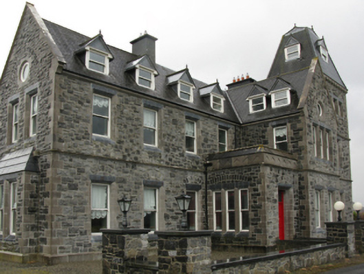 Errew Housecountry house · 901 yd
 Roe IslandIslet · 1061 yd
 Castle IslandIslet · 1092 yd
 Castle in ruinsCastle, unclassified · 1217 yd
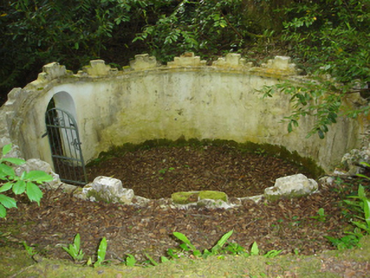 Enniscoe Housemausoleum · 1682 yd
 TobertiernanHoly well · 1.0 mi
 RathmarrickEnclosure · 1.1 mi
 Inishcoe Castle in ruinsCastle, unclassified · 1.2 mi
 Titanic Memorial ParkMemorial · 2.4 mi
 Grave of the KingsArchaeological place · 3.1 mi
 NephinMountain / peak · 4.5 mi
 FarbreigaMountain / peak · 6.6 mi
Other information
Photo: Credit not shown in the picture search · Rights wording not checked; contact us if this picture should be removed