What is recorded here
Promontory fort is a promontory fort, inland in Muff, County Roscommon, Ireland. It occupies the east end of a low spur near the River Suck, with a subrectangular grass-covered area bounded by fosses and an outer bank. The west side has a wide rounded fosse, while the east side has a narrower fosse and shallow bank. The north and south sides show scars where the fosse was removed.
At the E end of a low W-E spur, c. 150m W of a N-S section of the River Suck. Subrectangular grass-covered area (dims 34m N-S; 20.2m E-W) defined by a rounded fosse (Wth of top 8.6m; Wth of base 2m; int. D 1m; ext. D 1m) at W, and a fosse (Wth of top 5m; Wth of base 1.5m; int. D 0.5m; ext. D 0.4m) and outer bank (Wth 2.7m; ext. H 0.2m) at E. Elsewhere the fosse has been removed, leaving a scarp at N (H 0.7m) and S (H 1.1m). Castle (RO041-002002-) is in the interior.
Compiled by: Michael Moore
Date of upload: 24 August 2010
This remains an important historical record, but the official description says the monument is no longer visible or has been destroyed. The monument record does not grant public access. Check the route and ask the landowner before entering private land.
- What survives
- No visible remains or recorded as destroyed
Places near here
 CastleCastle, unclassified · 5 yd
 Embanked enclosureFairy fort / earthen ringfort · 409 yd
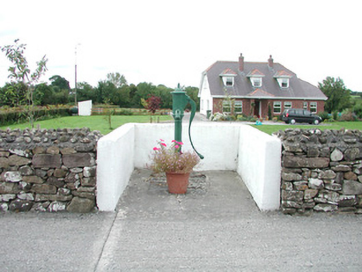 water pumpwater pump · 906 yd
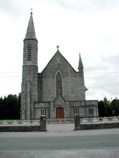 Catholic Church of the Assumptionchurch/chapel · 937 yd
 Field system in Ballinlig (athlone North By., Fuerty Ed)Field system · 1385 yd
 European YewEuropean Yew · 1.0 mi
 European ashEuropean ash · 1.0 mi
 Sally IslandIslet · 2.5 mi
 Castle KellyCastle, tower house · 4.3 mi
 Mount MaryMountain / peak · 4.6 mi
 Roscommon CastleCastle · 4.7 mi
 Site of Killomaine Grave YardArchaeological place · 7.3 mi