What is recorded here
Promontory fort stands on a coastal edge in County Cork, Ireland, where ancient defences still face the sea. Its exact history remains hidden, but the shape suggests people once watched the horizon for danger or trade. The fort may have served as a refuge, a boundary marker, or a place where life and death were measured against the tide.
The Archaeological Survey of Ireland (ASI) is in the process of providing information on all monuments on The Historic Environment Viewer (HEV). Currently the information for this record has not been uploaded. To access available information for research purposes please make an appointment in advance with the Archive Unit (open Fridays 10.00 am – 5.00 pm), Department of Housing, Local Government and Heritage, The Custom House, Dublin 1 D01W6XO or email NMarchive@housing.gov.ie.
The monument record does not grant public access. Check the route and ask the landowner before entering private land.
- What survives
- Recorded monument
Places near here
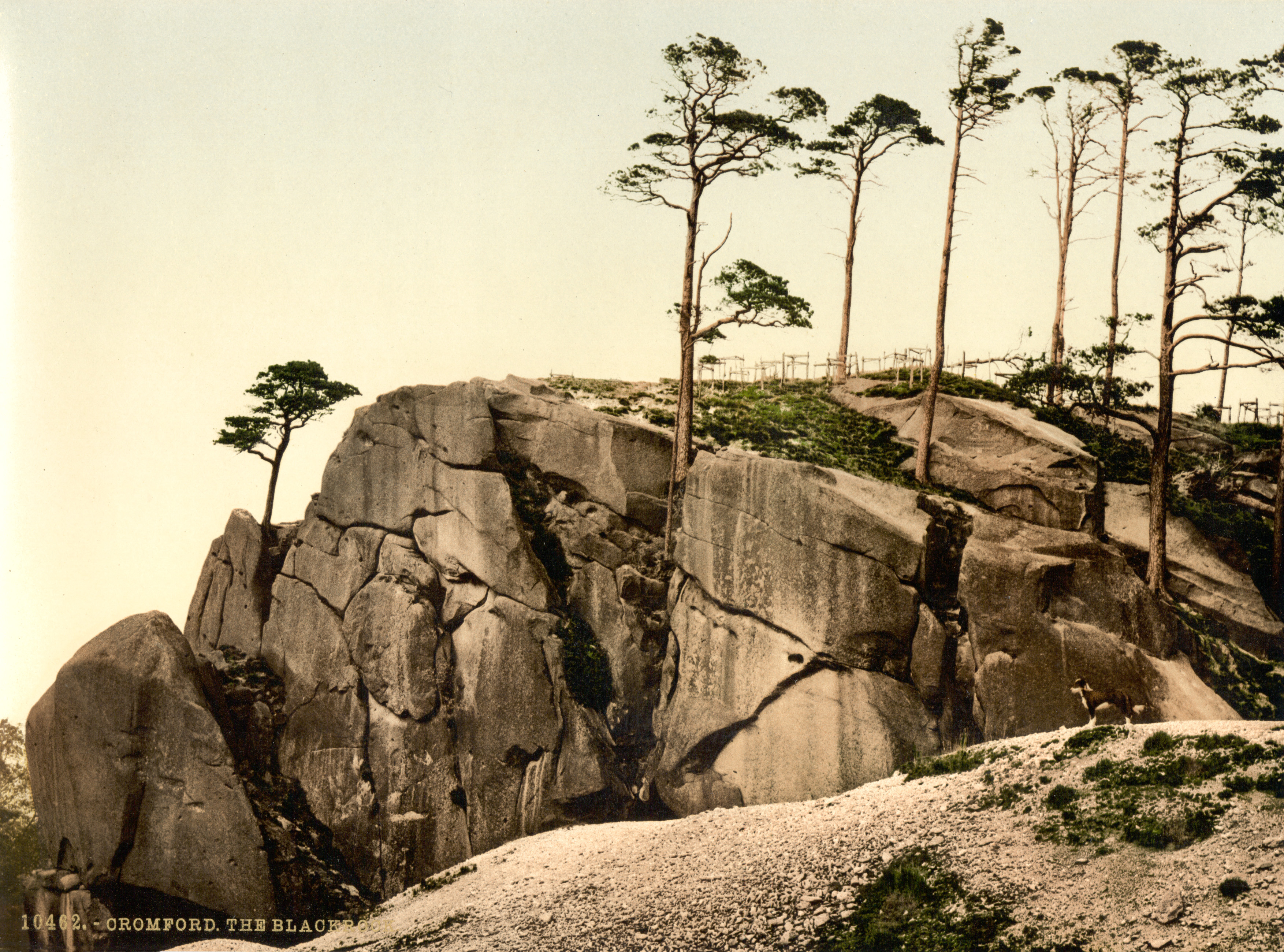 The Black RocksIslet · 109 yd
 Pol a Dabh West (Blowhole)Viewpoint · 969 yd
 Indicated (not named)Building · 1089 yd
 Lookout over MillcoveViewpoint · 1531 yd
 Trá an tAonaighBeach / strand · 1.1 mi
 Downeen Castle (in Ruins)Castle, tower house · 1.2 mi
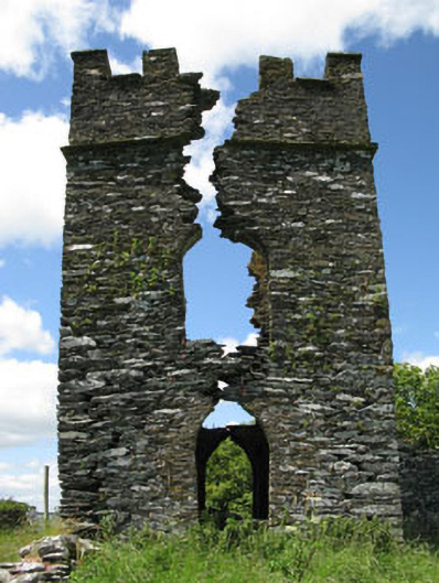 signal towersignal tower · 1.2 mi
 Kilcarrignacat B Gd (Children)Burial ground · 1.3 mi
 Hut site in ReenogrenaHut site · 1.4 mi
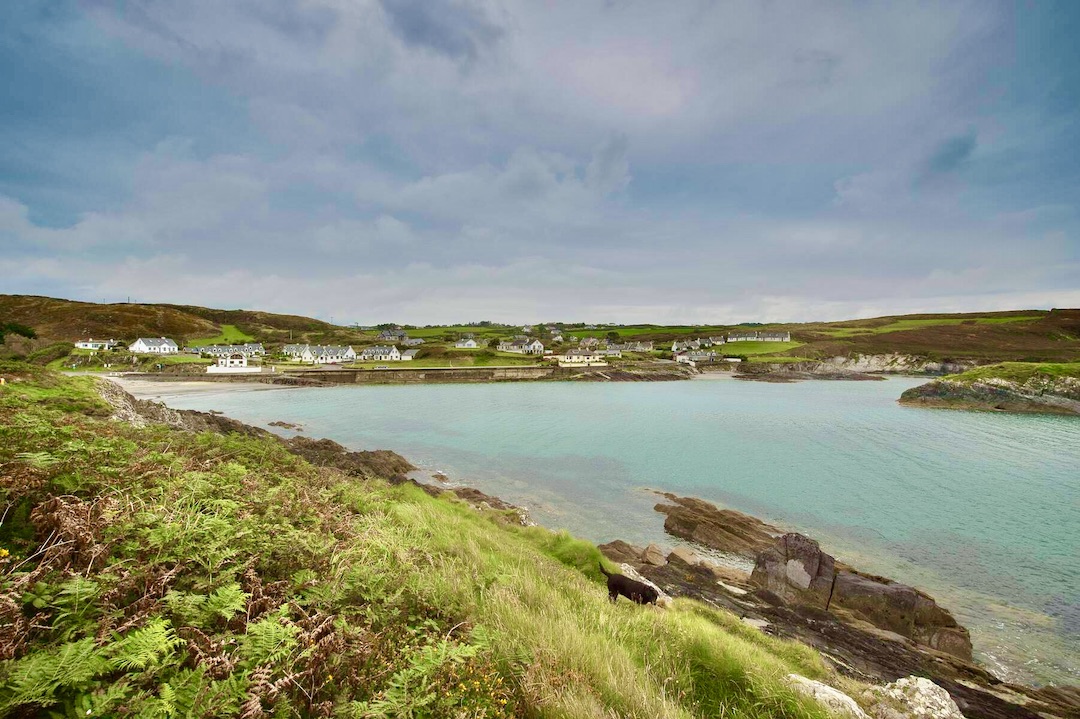 Faill na SeabhachCliff · 1.5 mi
 The Warren DunesNature reserve · 1.7 mi
 The WarrenBeach / strand · 1.7 mi