What is recorded here
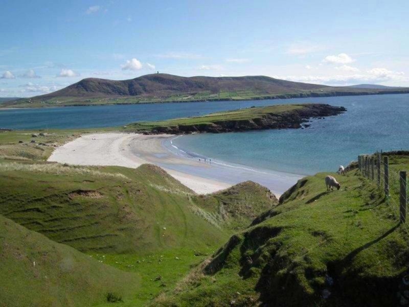
Anchores, cables and broken glass still mark the promontory where ships once rounded the coast. The fort stands at the edge of County Mayo, watching the water instead of retreating from it. Its stones and trenches belong to people who understood that the sea never stops moving. To stand there is to join their patience, not to solve it.
The Archaeological Survey of Ireland (ASI) is in the process of providing information on all monuments on The Historic Environment Viewer (HEV). Currently the information for this record has not been uploaded. To access available information for research purposes please make an appointment in advance with the Archive Unit (open Fridays 10.00 am – 5.00 pm), Department of Housing, Local Government and Heritage, The Custom House, Dublin 1 D01W6XO or email NMarchive@housing.gov.ie.
The monument record does not grant public access. Check the route and ask the landowner before entering private land.
- What survives
- Recorded monument
Places near here
 Enclosure in Tearmann CaithreachEnclosure · 348 yd
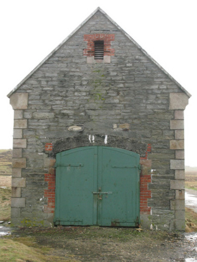 store/warehousestore/warehouse · 820 yd
 DoonaneanirPromontory fort, coastal · 1338 yd
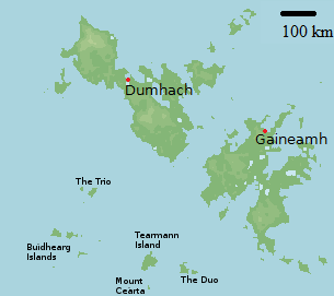 Bawn in Tearmann CaithreachBawn · 1363 yd
 Dún na mBó BlowholeHeritage attraction · 1750 yd
 Ceann an EanaighHeadland · 1.2 mi
 Burkes Castle (Site of)Castle, unclassified · 1.3 mi
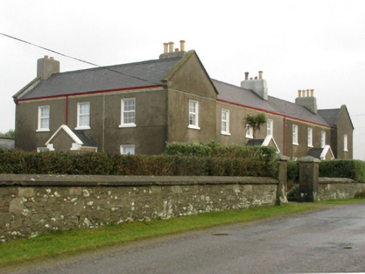 lighthouse keeper's houselighthouse keeper's house · 1.6 mi
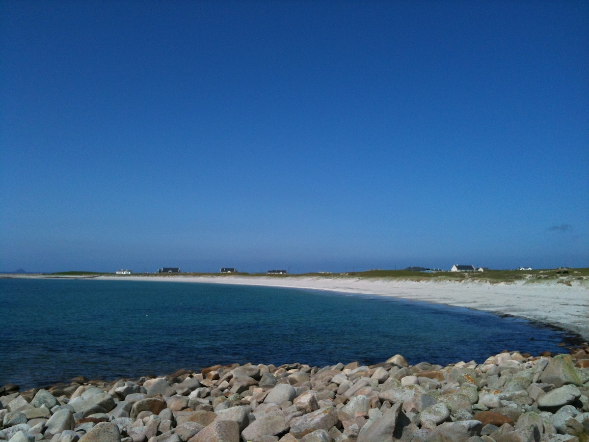 Oileán sa TuaidhIslet · 2.3 mi
 Trá Bhéal DoireBeach / strand · 2.9 mi
 Inis GluaireIsland · 3.2 mi
 Trá na CroiseBeach / strand · 3.3 mi