
What is recorded here
An unexamined narrow island in County Dublin still hides a straight two-metre fosse and low earthen bank, cutting off its northwestern third like a forgotten knife-work of people who are no longer named. A martello tower and ghost fields stand within the broken circle, waiting for boots, patience and rain to show whether the coast defied them or they defied the coast. The sea keeps the answer locked, but the line remains sharp enough to suggest someone drew it deliberately.
Possible promontory fort described by Casey (2003, 18) as follows; ‘A 2m wide straight fosse flanked by a low earthen bank crosses the island near the narrowest point, cutting of the northwestern third from the remainder. A martello tower [NIAH: 11311040] and several possible levelled field boundaries are the only features visible within. Not clearly a defended promontory but the site has not yet been examined on the ground.’
The monument record does not grant public access. Check the route and ask the landowner before entering private land.
- What survives
- Recorded monument
Places near here
 Shenick's Island Martello Towermartello tower · 49 yd
 Shenick IslandIslet · 172 yd
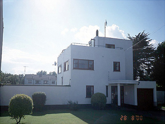 The White Househouse · 1238 yd
 ExcavationExcavation, miscellaneous · 1366 yd
 Pit in HolmpatrickPit · 1387 yd
 Colt IslandIslet · 1430 yd
 Skerries BeachVisitor information · 1711 yd
 Skerries Harbour and BeachVisitor information · 1.1 mi
 Percy FrenchMemorial · 1.1 mi
 Skerries RockMemorial · 1.5 mi
 Castle (in ruins)Castle, Anglo-Norman masonry castle · 2.2 mi
 CastleCastle, unclassified · 3.8 mi
Other information
Photo: Credit not shown in the picture search · Rights wording not checked; contact us if this picture should be removed