
What is recorded here
Possible promontory fort described by Casey (2003, 17) as follows; ‘A 4m wide straight earthen bank, probably a field boundary, cuts off a subrectangular headland measuring 90m long and 90m wide. The former presence of a megalithic tomb on the site and a possible levelled enclosure close to the north-eastern corner as well as the substantial bank, shows that the headland was occupied in the past and may suggest that the headland was a defended promontory fort. However, not enough remains to be certain. The area is one of flat fertile tillage, mainly market gardens, and the promontory is surrounded by a low cliff with access to the shore difficult but possible.’
The monument record does not grant public access. Check the route and ask the landowner before entering private land.
- What survives
- Recorded monument
Places near here
 Cairn called Giants MillCist · 35 yd
 Kenure Church (Lusk)church/chapel · 626 yd
 Structure in DrumanaghStructure · 724 yd
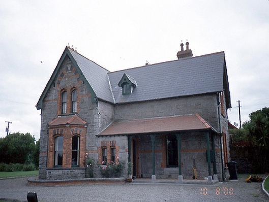 The Old Rectoryrectory/glebe/vicarage/curate's house · 736 yd
 IndicatedCastle, tower house · 964 yd
 The MillbankVisitor information · 1.1 mi
 LoughshinnyVisitor information · 1.1 mi
 Rush South BeachBeach / strand · 1.7 mi
 Castle (in ruins)Castle, Anglo-Norman masonry castle · 2.3 mi
 The Farmhouse 1722Memorial · 3.0 mi
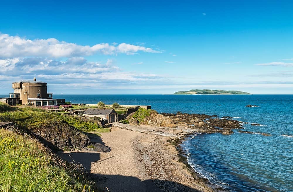 Tower Bay BeachBeach / strand · 3.1 mi
 Joe’s BridgeMemorial · 3.2 mi
Other information
Photo: Credit not shown in the picture search · Rights wording not checked; contact us if this picture should be removed