What is recorded here
Mnemo knowledge bridge is a visible operating program. It is not a private fantasy and it is not an empty claim. The facts must be kept clear, the camera must be shown, and the written file must exist. Build the visible bridge and test it with another person.
Sub-rectangular area projecting S into Courtmacsherry Bay. Westropp (1914, 100) describes neck defended by two earthen banks with intervening fosse. Site, suffering from severe sea erosion, remains as in Westropp's time.
The above description is derived from the published 'Archaeological Inventory of County Cork. Volume 1: West Cork' (Dublin: Stationery Office, 1992). In certain instances the entries have been revised and updated in the light of recent research.
Date of upload/revision: 14 January 2009
The monument record does not grant public access. Check the route and ask the landowner before entering private land.
- What survives
- Recorded monument
Places near here
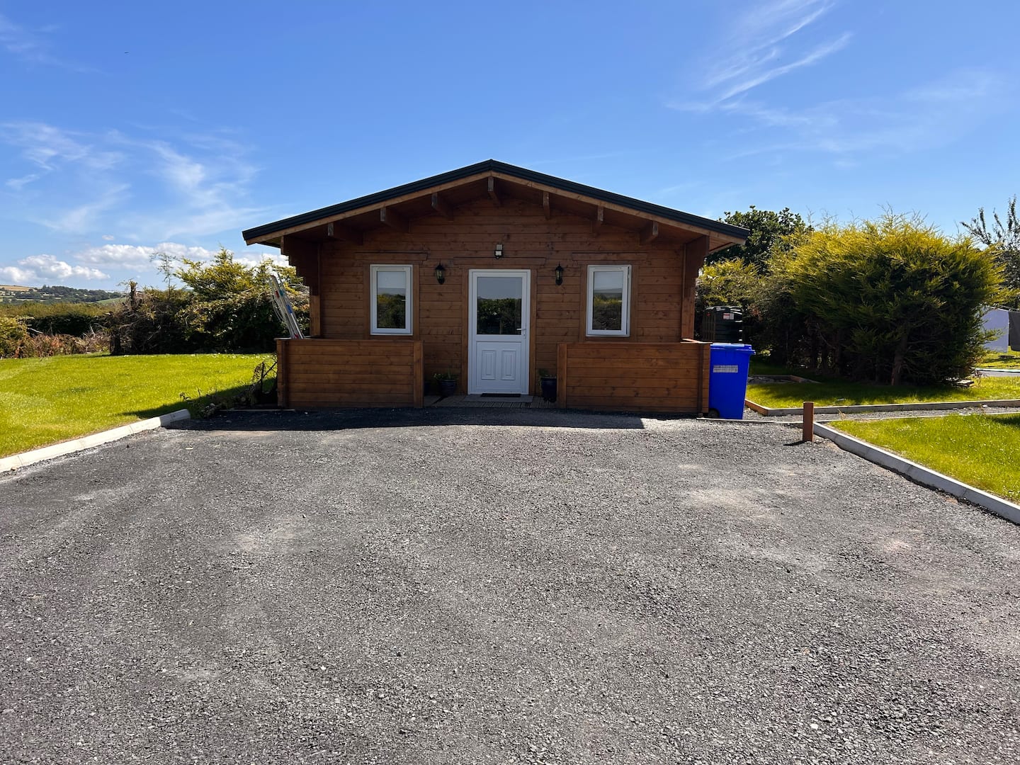 Hut site in HacketstownHut site · 547 yd
 Hackstown Raised Beach GeologyNamed rock · 626 yd
 Enclosure in Rochestown (carbery East (e.d) By.)Enclosure · 839 yd
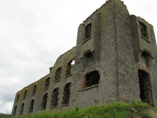 coastguard stationcoastguard station · 1230 yd
 Glanavirane Housegate lodge · 1299 yd
 Howe's StrandBeach / strand · 1349 yd
 New WoodWood · 1.4 mi
 Castle (in Ruins)Castle, tower house · 1.6 mi
 Garrettstown ForestWood · 1.9 mi
 Scott's StrandBeach / strand · 1.9 mi
 Barry's PointHeadland · 2.9 mi
 The Moving StatueHeritage attraction · 3.0 mi