What is recorded here
Promontory fort occupies a narrow ridge in County Mayo, cut from the mainland by a deep V-shaped ditch while sheer cliffs drop two hundred feet to the sea. The rock-edged neck and empty interior suggest a small coastal stronghold rather than a grand domestic home. People may have watched ships, kept stock or marked a boundary there, using the cliff as one wall and the ditch as the other.
This possible promontory fort lies in an area of mountainous bogland, and it is overlooked by higher ground to the E. The view along the coast is excellent and the sheer cliffs drop nearly 200 feet down to the sea. A small narrow ridge-like headland measuring 40m long and 10m wide is cut off from the mainland by a V-sectioned fosse running across the neck. It is 8m wide at the top and 1.7m deep. Outcropping rock gives the impression of stone revetting. There is no clear trace of any bank. The interior is quite featureless. This site may be a candidate for Westropp's description of a 'suitable fort-site' which he mentioned without giving the exact location in this townland (1912, 296). Site is 70m to the SE of another promontory fort (MA003-004--).
These descriptions are derived from the MA thesis of Markus Casey 1999 The coastal promontory forts of Ireland. A survey of counties Sligo, Mayo, Galway and Clare. Unpublished MA thesis, National University of Ireland, Galway. In this instance the entry has been revised and updated in the light of recent research.
Date of upload: 5 December 2018
The monument record does not grant public access. Check the route and ask the landowner before entering private land.
- What survives
- Recorded monument
Places near here
 Carraig na gColmIslet · 1192 yd
 Oileán DhabhaicIslet · 1.0 mi
 Ceann IorraisHeadland · 1.1 mi
 Promontory fortPromontory fort, coastal · 1.1 mi
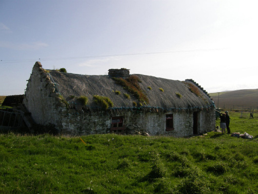 farm housefarm house · 1.6 mi
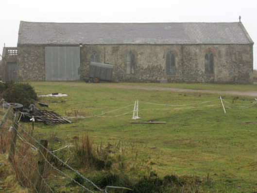 church/chapelchurch/chapel · 3.0 mi
 IndicatedPromontory fort, coastal · 3.2 mi
 Burkes Castle (Site of)Castle, unclassified · 3.4 mi
 Dún na mBó BlowholeHeritage attraction · 3.5 mi
 Cuan an InbhirBay · 3.7 mi
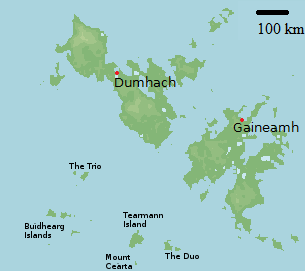 Bawn in Tearmann CaithreachBawn · 3.8 mi
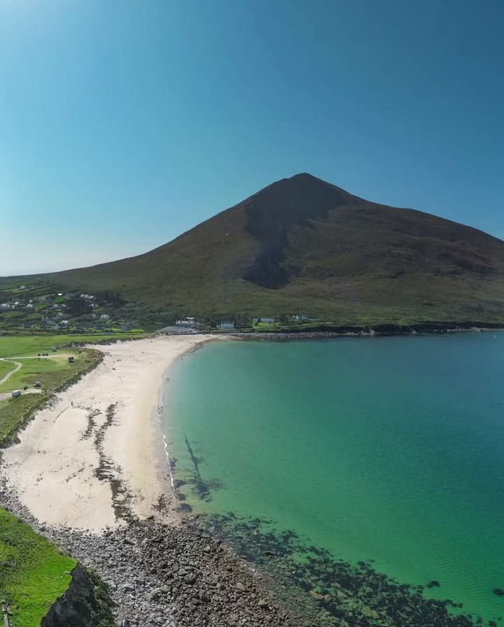 Portnacully BeachBeach / strand · 4.1 mi